Earthquake 11 km W of Templeton, CA
Mon, 05 Jan 2026 02:20:02 GMT
Time3 days ago
Location
35.5340, -120.8312
Depth
6.4 KM
Event Summary
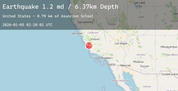
A 1.2 magnitude earthquake struck on 11 km W of Templeton, CA, at Mon, 05 Jan 2026 02:20:02 GMT. Depth: 6.36999988555908km. Reviewed by USGS seismologists, this minor quake occurred at a magnitude type of md.
Magnitude
1.2
md
Source
USGS
Intensity
-
Agency Reports
1 Sources| Source | Magnitude | Depth | Time |
|---|---|---|---|
| USGSPrimary | 1.2 | 6 km | 3 days ago |
Earthquake Details
AutomaticEvent IDusgs_nc75291001
Tsunami PotentialNo
Magnitude Typemd
Nearest Places
- Asuncion School0.8 km
- York Mountain1.4 km
- Hartzell 746 Dam1.4 km
- Santa Rita Ranch2.2 km
- Cienega Creek2.3 km
Comments
Join the discussion about this event.
Latest Earthquakes
1.0Mag
6 km S of Redlands, CA
Time3 days ago
Depth14.14 km
SourceUSGS (Automatic)
3.4Mag
NEAR EAST COAST OF HONSHU, JAPAN
Time3 days ago
Depth50.00 km
SourceJMA (Automatic)
2.8Mag
Sumbawa Region, Indonesia
Time3 days ago
Depth28.53 km
SourceBMKG (Automatic)
1.0Mag
13 km ENE of Cloverdale, CA
Time3 days ago
Depth2.53 km
SourceUSGS (Automatic)
3.2Mag
JUJUY, ARGENTINA
Time3 days ago
Depth243.70 km
SourceCSN (Automatic)
Nearby Earthquakes
No significant earthquakes nearby recently.