Earthquake 9 km E of Alum Rock, CA
Wed, 07 Jan 2026 16:01:22 GMT
Time2 days ago
Location
37.3647, -121.7220
Depth
5.6 KM
Event Summary
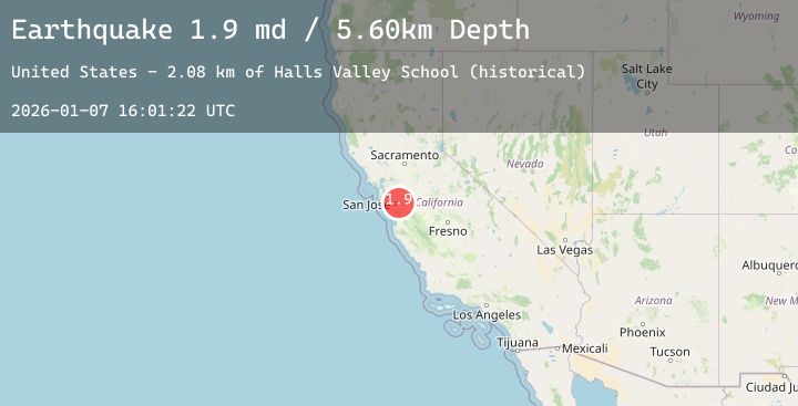
A 1.9 magnitude earthquake struck on 9 km E of Alum Rock, CA, at Wed, 07 Jan 2026 16:01:22 GMT. Depth: 5.59999990463257km. Reviewed by USGS seismologists, this minor quake occurred at a magnitude type of md.
Magnitude
1.9
md
Source
USGS
Intensity
-
Agency Reports
1 Sources| Source | Magnitude | Depth | Time |
|---|---|---|---|
| USGSPrimary | 1.9 | 6 km | 2 days ago |
Earthquake Details
AutomaticEvent IDusgs_nc75292071
Tsunami PotentialNo
Magnitude Typemd
Nearest Places
- Halls Valley School (historical)2.1 km
- Halls Valley Lake2.1 km
- Grant Company Number 2 1057-002 Dam2.4 km
- Grant Ranch2.7 km
- Cañada De Pala2.8 km
Comments
Join the discussion about this event.
Latest Earthquakes
2.0Mag
Bali Region, Indonesia
Time2 days ago
Depth17.44 km
SourceBMKG (Automatic)
2.0Mag
Sumbawa Region, Indonesia
Time2 days ago
Depth10.00 km
SourceBMKG (Automatic)
2.8Mag
Sulawesi, Indonesia
Time2 days ago
Depth5.00 km
SourceBMKG (Automatic)
2.9Mag
Talaud Islands, Indonesia
Time2 days ago
Depth45.41 km
SourceBMKG (Automatic)
0.7Mag
17 km NE of Pine Valley, CA
Time2 days ago
Depth5.09 km
SourceUSGS (Automatic)