Earthquake 10 km WNW of The Geysers, CA
Thu, 08 Jan 2026 09:08:51 GMT
Time1 day ago
Location
38.8222, -122.8505
Depth
2.3 KM
Event Summary
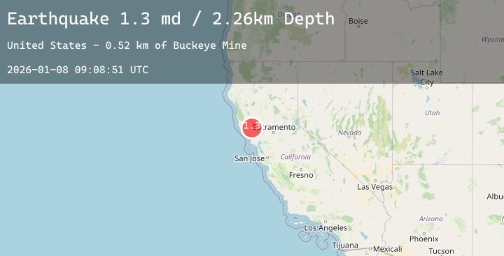
A 1.3 magnitude earthquake struck on 10 km WNW of The Geysers, CA, at Thu, 08 Jan 2026 09:08:51 GMT. Depth: 2.25999999046326km. Reviewed by USGS seismologists, this minor quake occurred at a magnitude type of md.
Magnitude
1.3
md
Source
USGS
Intensity
-
Agency Reports
3 Sources| Source | Magnitude | Depth | Time |
|---|---|---|---|
| USGSPrimary | 0.8 | 2 km | 1 day ago |
| USGSPrimary | 0.9 | 3 km | 23 hours ago |
| USGSPrimary | 1.3 | 2 km | 23 hours ago |
Earthquake Details
AutomaticEvent IDusgs_nc75292526
Tsunami PotentialNo
Magnitude Typemd
Nearest Places
- Buckeye Mine0.7 km
- Truitt Creek1.2 km
- Truitt Ranch1.7 km
- Black Oaks1.8 km
- Cloverdale Mine Headquarters1.9 km
Comments
Join the discussion about this event.
Latest Earthquakes
2.4Mag
FRANCE
Time22 hours ago
Depth15.90 km
SourceReNaSS (Automatic)
2.6Mag
West Papua Region, Indonesia
Time22 hours ago
Depth10.00 km
SourceBMKG (Automatic)
2.9Mag
ALBANIA
Time22 hours ago
Depth15.00 km
SourceIGEO (Automatic)
1.8Mag
19 km ESE of Skwentna, Alaska
Time22 hours ago
Depth10.50 km
SourceUSGS (Automatic)
2.4Mag
Northern Sumatra, Indonesia
Time22 hours ago
Depth10.35 km
SourceBMKG (Automatic)
Nearby Earthquakes
1.1Mag
7 km NW of The Geysers, CA
Time22 hours ago
Depth1.73 km
SourceUSGS (Automatic)
4.2Mag
12 km E of Cloverdale, California
Time1 day ago
Depth9.00 km
SourceUSGS (Automatic)
1.7Mag
8 km NW of The Geysers, CA
Time1 day ago
Depth2.64 km
SourceUSGS (Automatic)
1.5Mag
7 km NW of The Geysers, CA
Time1 day ago
Depth2.92 km
SourceUSGS (Automatic)
0.7Mag
3 km NW of The Geysers, CA
Time1 day ago
Depth3.98 km
SourceUSGS (Automatic)