Earthquake 1 km NW of Danville, CA
Mon, 26 Jan 2026 10:11:30 GMT
Time22 hours ago
Location
37.8288, -122.0108
Depth
4.4 KM
Event Summary
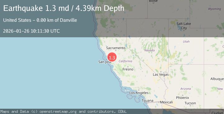
A 1.3 magnitude earthquake struck on 1 km NW of Danville, CA, at Mon, 26 Jan 2026 10:11:30 GMT. Depth: 4.3899998664856km. Reviewed by USGS seismologists, this minor quake occurred at a magnitude type of md.
Magnitude
1.3
md
Source
USGS
Intensity
-
Agency Reports
1 Sources| Source | Magnitude | Depth | Time |
|---|---|---|---|
| USGSPrimary | 1.3 | 4 km | 22 hours ago |
Earthquake Details
AutomaticEvent IDusgs_nc75301876
Tsunami PotentialNo
Magnitude Typemd
Nearest Places
- Del Amigo High School0.2 km
- La Vista Park0.5 km
- San Ramon Valley High School0.5 km
- Saint Isodore School0.7 km
- Danville City Hall0.7 km
Comments
Join the discussion about this event.
Latest Earthquakes
2.6Mag
Minahassa Peninsula, Sulawesi
Time12 hours ago
Depth118.00 km
SourceBMKG (Automatic)
2.8Mag
South of Bali, Indonesia
Time12 hours ago
Depth10.00 km
SourceBMKG (Automatic)
1.7Mag
31 km SE of Denali National Park, Alaska
Time12 hours ago
Depth0.60 km
SourceUSGS (Automatic)
2.2Mag
WESTERN TURKEY
Time12 hours ago
Depth14.90 km
SourceKOERI (Automatic)
2.2Mag
13 km NW of Ferry, Alaska
Time12 hours ago
Depth139.50 km
SourceUSGS (Automatic)
Nearby Earthquakes
1.6Mag
3 km ESE of San Ramon, CA
Time3 days ago
Depth7.67 km
SourceUSGS (Automatic)
1.9Mag
4 km SE of San Ramon, CA
Time3 days ago
Depth8.30 km
SourceUSGS (Automatic)
1.1Mag
4 km WNW of Orinda, CA
Time4 days ago
Depth3.94 km
SourceUSGS (Automatic)
1.8Mag
6 km SSW of Livermore, CA
Time1 day ago
Depth9.32 km
SourceUSGS (Automatic)
1.6Mag
14 km N of Pittsburg, CA
Time3 days ago
Depth-0.01 km
SourceUSGS (Automatic)