Earthquake 9 km WNW of The Geysers, CA
Mon, 26 Jan 2026 15:45:31 GMT
Time18 hours ago
Location
38.8228, -122.8453
Depth
2.2 KM
Event Summary
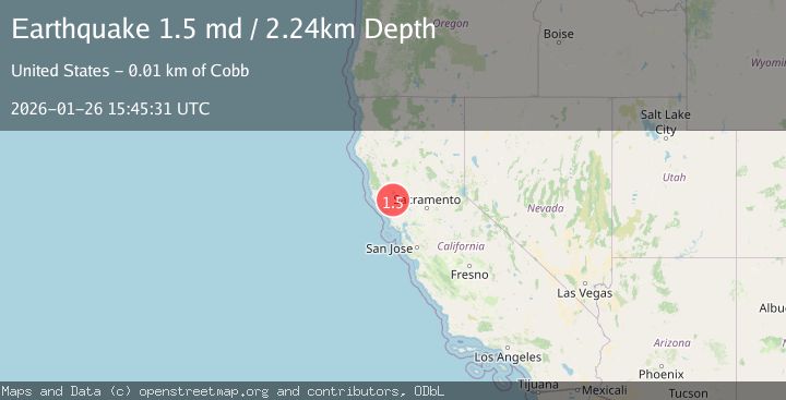
A 1.5 magnitude earthquake struck on 9 km WNW of The Geysers, CA, at Mon, 26 Jan 2026 15:45:31 GMT. Depth: 2.24000000953674km. Reviewed by USGS seismologists, this minor quake occurred at a magnitude type of md.
Magnitude
1.5
md
Source
USGS
Intensity
-
Agency Reports
1 Sources| Source | Magnitude | Depth | Time |
|---|---|---|---|
| USGSPrimary | 1.5 | 2 km | 18 hours ago |
Earthquake Details
AutomaticEvent IDusgs_nc75301976
Tsunami PotentialNo
Magnitude Typemd
Nearest Places
- Buckeye Mine1.1 km
- Black Oaks1.4 km
- Truitt Creek1.5 km
- Wildhorse Creek1.8 km
- Adit Number One-One Hundred Twenty1.9 km
Comments
Join the discussion about this event.
Latest Earthquakes
4.4Mag
Sulawesi, Indonesia
Time13 hours ago
Depth5.00 km
SourceBMKG (Automatic)
1.8Mag
PYRENEES
Time13 hours ago
Depth1.40 km
SourceIGN (Automatic)
2.6Mag
Minahassa Peninsula, Sulawesi
Time13 hours ago
Depth118.00 km
SourceBMKG (Automatic)
2.8Mag
South of Bali, Indonesia
Time13 hours ago
Depth10.00 km
SourceBMKG (Automatic)
1.7Mag
31 km SE of Denali National Park, Alaska
Time13 hours ago
Depth0.60 km
SourceUSGS (Automatic)
Nearby Earthquakes
0.7Mag
9 km WNW of The Geysers, CA
Time1 day ago
Depth2.32 km
SourceUSGS (Automatic)
1.1Mag
9 km NW of The Geysers, CA
Time2 days ago
Depth1.99 km
SourceUSGS (Automatic)
0.8Mag
10 km WNW of The Geysers, CA
Time1 day ago
Depth2.70 km
SourceUSGS (Automatic)
0.8Mag
10 km WNW of The Geysers, CA
Time2 days ago
Depth1.49 km
SourceUSGS (Automatic)
1.2Mag
10 km WNW of The Geysers, CA
Time2 days ago
Depth2.21 km
SourceUSGS (Automatic)