Earthquake 4 km NW of The Geysers, CA
Thu, 29 Jan 2026 08:47:33 GMT
Time2 hours ago
Location
38.8028, -122.7815
Depth
2.9 KM
Event Summary
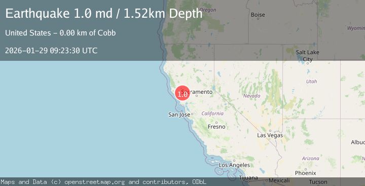
A 1.0 magnitude earthquake struck on 4 km NW of The Geysers, CA, at Thu, 29 Jan 2026 08:47:33 GMT. Depth: 2.91000008583069km. Reviewed by USGS seismologists, this minor quake occurred at a magnitude type of md.
Magnitude
1.0
md
Source
USGS
Intensity
-
Agency Reports
1 Sources| Source | Magnitude | Depth | Time |
|---|---|---|---|
| USGSPrimary | 1.0 | 2 km | 1 hour ago |
Earthquake Details
AutomaticEvent IDusgs_nc75303671
Tsunami PotentialNo
Magnitude Typemd
Nearest Places
- Burned Mountain1.0 km
- Cobb Creek1.6 km
- Hot Springs Creek1.7 km
- Geyser Rock1.8 km
- Dianna Rock2.2 km
Comments
Join the discussion about this event.
Latest Earthquakes
2.1Mag
FRANCE
Time5 minutes ago
Depth0.00 km
SourceReNaSS (Automatic)
2.2Mag
Minahassa Peninsula, Sulawesi
Time8 minutes ago
Depth242.30 km
SourceBMKG (Automatic)
2.2Mag
FRANCE
Time21 minutes ago
Depth5.00 km
SourceReNaSS (Automatic)
2.1Mag
OKLAHOMA
Time27 minutes ago
Depth4.00 km
SourceOK (Automatic)
3.5Mag
SOUTHERN ALASKA
Time28 minutes ago
Depth21.80 km
SourceAK (Automatic)
Nearby Earthquakes
1.3Mag
3 km NW of The Geysers, CA
Time6 days ago
Depth3.25 km
SourceUSGS (Automatic)
0.8Mag
5 km NNW of The Geysers, CA
Time6 days ago
Depth1.22 km
SourceUSGS (Automatic)
0.9Mag
5 km NW of The Geysers, CA
Time2 days ago
Depth3.13 km
SourceUSGS (Automatic)
1.4Mag
5 km NW of The Geysers, CA
Time1 day ago
Depth3.24 km
SourceUSGS (Automatic)
1.3Mag
2 km NW of The Geysers, CA
Time1 day ago
Depth1.49 km
SourceUSGS (Automatic)