Earthquake 3 km SE of The Geysers, CA
Thu, 29 Jan 2026 19:12:53 GMT
Time5 hours ago
Location
38.7558, -122.7315
Depth
2.1 KM
Event Summary
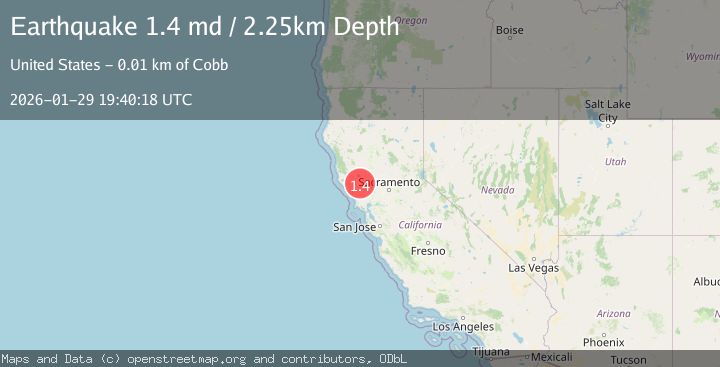
A 1.4 magnitude earthquake struck on 3 km SE of The Geysers, CA, at Thu, 29 Jan 2026 19:12:53 GMT. Depth: 2.14000010490417km. Reviewed by USGS seismologists, this minor quake occurred at a magnitude type of md.
Magnitude
1.4
md
Source
USGS
Intensity
-
Agency Reports
1 Sources| Source | Magnitude | Depth | Time |
|---|---|---|---|
| USGSPrimary | 1.4 | 2 km | 5 hours ago |
Earthquake Details
AutomaticEvent IDusgs_nc75303876
Tsunami PotentialNo
Magnitude Typemd
Nearest Places
- Wardlow Rock1.5 km
- Sheepskin Rock1.9 km
- Big Injun Mine1.9 km
- Castle Rock Springs2.0 km
- Castle Rock2.4 km
Comments
Join the discussion about this event.
Latest Earthquakes
3.5Mag
West Papua Region, Indonesia
Time12 minutes ago
Depth44.97 km
SourceBMKG (Automatic)
0.6Mag
15 km E of Coso Junction, CA
Time13 minutes ago
Depth0.99 km
SourceUSGS (Automatic)
3.4Mag
NEAR EAST COAST OF HONSHU, JAPAN
Time17 minutes ago
Depth50.00 km
SourceJMA (Automatic)
1.7Mag
SLOVENIA
Time20 minutes ago
Depth0.00 km
SourceARSO (Automatic)
2.1Mag
Sumbawa Region, Indonesia
Time20 minutes ago
Depth10.00 km
SourceBMKG (Automatic)
Nearby Earthquakes
1.1Mag
3 km SW of Anderson Springs, CA
Time1 week ago
Depth1.94 km
SourceUSGS (Automatic)
1.5Mag
3 km WSW of Anderson Springs, CA
Time1 week ago
Depth1.01 km
SourceUSGS (Automatic)
1.1Mag
1 km E of The Geysers, CA
Time2 days ago
Depth0.59 km
SourceUSGS (Automatic)
1.9Mag
3 km ENE of The Geysers, CA
Time6 days ago
Depth1.61 km
SourceUSGS (Automatic)
1.7Mag
3 km NE of The Geysers, CA
Time6 days ago
Depth1.59 km
SourceUSGS (Automatic)