Earthquake 7 km NW of The Geysers, CA
Thu, 29 Jan 2026 20:21:03 GMT
Time5 hours ago
Location
38.8228, -122.8093
Depth
2.9 KM
Event Summary
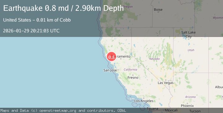
A 0.8 magnitude earthquake struck on 7 km NW of The Geysers, CA, at Thu, 29 Jan 2026 20:21:03 GMT. Depth: 2.90000009536743km. Reviewed by USGS seismologists, this minor quake occurred at a magnitude type of md.
Magnitude
0.8
md
Source
USGS
Intensity
-
Agency Reports
1 Sources| Source | Magnitude | Depth | Time |
|---|---|---|---|
| USGSPrimary | 0.8 | 3 km | 5 hours ago |
Earthquake Details
AutomaticEvent IDusgs_nc75303921
Tsunami PotentialNo
Magnitude Typemd
Nearest Places
- Bear Canyon0.8 km
- Coldwater Canyon1.7 km
- Black Oaks2.2 km
- Caldwell Pines2.5 km
- Geyser Canyon2.6 km
Comments
Join the discussion about this event.
Latest Earthquakes
2.6Mag
51 km E of Pedro Bay, Alaska
Time10 minutes ago
Depth114.80 km
SourceUSGS (Automatic)
2.7Mag
WESTERN TURKEY
Time13 minutes ago
Depth6.30 km
SourceKOERI (Automatic)
1.9Mag
70 km ENE of Chase, Alaska
Time20 minutes ago
Depth0.90 km
SourceUSGS (Automatic)
1.3Mag
TURKEY-SYRIA-IRAQ BORDER REGION
Time23 minutes ago
Depth9.40 km
SourceAFAD (Automatic)
2.3Mag
WESTERN TURKEY
Time24 minutes ago
Depth11.70 km
SourceKOERI (Automatic)
Nearby Earthquakes
1.0Mag
7 km NW of The Geysers, CA
Time4 days ago
Depth2.32 km
SourceUSGS (Automatic)
1.3Mag
7 km NW of The Geysers, CA
Time4 days ago
Depth3.05 km
SourceUSGS (Automatic)
1.5Mag
6 km NW of The Geysers, CA
Time1 day ago
Depth2.85 km
SourceUSGS (Automatic)
1.3Mag
6 km NW of The Geysers, CA
Time5 days ago
Depth2.31 km
SourceUSGS (Automatic)
0.9Mag
7 km NW of The Geysers, CA
Time4 days ago
Depth1.34 km
SourceUSGS (Automatic)