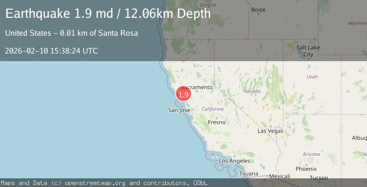
Earthquake 6 km E of Santa Rosa, CA
Tue, 10 Feb 2026 15:38:24 GMT
Time1 week ago
Location
38.4413, -122.6387
Depth
12.1 KM
Event Summary
A 1.9 magnitude earthquake struck on 6 km E of Santa Rosa, CA, at Tue, 10 Feb 2026 15:38:24 GMT. Depth: 12.0600004196167km. Reviewed by USGS seismologists, this minor quake occurred at a magnitude type of md.
Magnitude
1.9
md
Source
USGS
Intensity
-
Agency Reports
1 Sources| Source | Magnitude | Depth | Time |
|---|---|---|---|
| USGSPrimary | 1.9 | 1 km | 1 week ago |
Earthquake Details
AutomaticEvent IDusgs_nc75311792
Tsunami PotentialNo
Magnitude Typemd
Nearest Places
- Orchard Trail0.1 km
- False Lake Meadow0.3 km
- Cobblestone Trail0.4 km
- North Burma Trail0.5 km
- Rough Go Trail0.7 km
Comments
Join the discussion about this event.
Latest Earthquakes
2.4Mag
Finland
Time2 minutes ago
Depth301.88 km
SourceVYT (Automatic)
1.2Mag
Alaska Peninsula
Time2 minutes ago
Depth0.12 km
SourceVYT (Automatic)
3.1Mag
DODECANESE IS.-TURKEY BORDER REG
Time8 minutes ago
Depth4.10 km
SourceKOERI (Automatic)
2.6Mag
NEAR COAST OF NICARAGUA
Time13 minutes ago
Depth38.00 km
SourceINET (Automatic)
1.4Mag
Central Alaska
Time16 minutes ago
Depth110.35 km
SourceVYT (Automatic)
Nearby Earthquakes
2.7Mag
7 km ESE of Santa Rosa, CA
Time3 weeks ago
Depth0.21 km
SourceUSGS (Automatic)
3.0Mag
NORTHERN CALIFORNIA
Time2 months ago
Depth5.00 km
SourceNEIC (Automatic)
3.0Mag
NORTHERN CALIFORNIA
Time2 months ago
Depth5.00 km
SourceNEIC (Automatic)
2.1Mag
NORTHERN CALIFORNIA
Time1 month ago
Depth25.00 km
SourceNC (Automatic)
3.0Mag
NORTHERN CALIFORNIA
Time4 years ago
Depth10.00 km
SourceNEIC (Automatic)