Earthquake 6 km NW of The Geysers, CA
Thu, 12 Feb 2026 09:37:25 GMT
Time6 days ago
Location
38.8193, -122.8075
Depth
3.1 KM
Event Summary
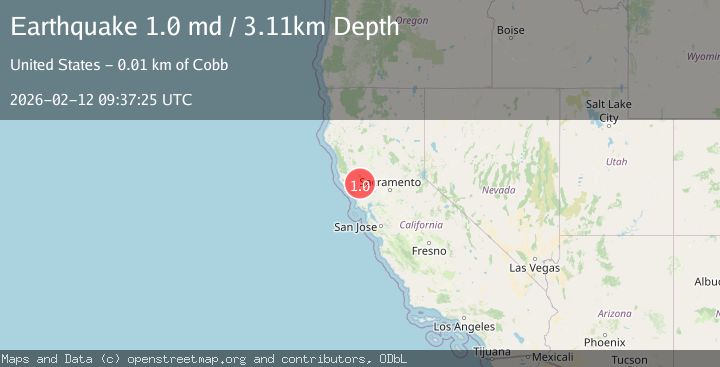
A 1.0 magnitude earthquake struck on 6 km NW of The Geysers, CA, at Thu, 12 Feb 2026 09:37:25 GMT. Depth: 3.10999989509583km. Reviewed by USGS seismologists, this minor quake occurred at a magnitude type of md.
Magnitude
1.0
md
Source
USGS
Intensity
-
Agency Reports
1 Sources| Source | Magnitude | Depth | Time |
|---|---|---|---|
| USGSPrimary | 1.0 | 3 km | 6 days ago |
Earthquake Details
AutomaticEvent IDusgs_nc75312607
Tsunami PotentialNo
Magnitude Typemd
Nearest Places
- Bear Canyon1.2 km
- Coldwater Canyon2.0 km
- Geyser Canyon2.2 km
- Geysers Resort2.3 km
- Black Oaks2.5 km
Comments
Join the discussion about this event.
Latest Earthquakes
1.7Mag
western Texas
Time3 minutes ago
Depth3.42 km
SourceVYT (Automatic)
3.5Mag
Seram, Indonesia
Time5 minutes ago
Depth0.00 km
SourceVYT (Automatic)
1.6Mag
54 km WNW of Toyah, Texas
Time11 minutes ago
Depth0.00 km
SourceUSGS (Automatic)
2.2Mag
West Papua Region, Indonesia
Time12 minutes ago
Depth26.69 km
SourceBMKG
1.2Mag
WESTERN TURKEY
Time13 minutes ago
Depth7.00 km
SourceAFAD (Automatic)
Nearby Earthquakes
3.0Mag
NORTHERN CALIFORNIA
Time10 years ago
Depth1.00 km
SourceNC (Automatic)
0.8Mag
6 km NW of The Geysers, CA
Time4 days ago
Depth2.25 km
SourceUSGS (Automatic)
0.8Mag
6 km NW of The Geysers, CA
Time3 days ago
Depth2.15 km
SourceUSGS (Automatic)
0.7Mag
6 km NW of The Geysers, CA
Time6 days ago
Depth2.75 km
SourceUSGS (Automatic)
1.1Mag
6 km NW of The Geysers, CA
Time6 days ago
Depth2.65 km
SourceUSGS (Automatic)