Earthquake 5 km SW of Ridgemark, CA
Fri, 13 Feb 2026 02:03:55 GMT
Time6 days ago
Location
36.7800, -121.4050
Depth
5.3 KM
Event Summary
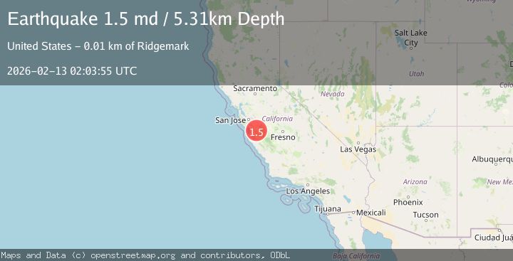
A 1.5 magnitude earthquake struck on 5 km SW of Ridgemark, CA, at Fri, 13 Feb 2026 02:03:55 GMT. Depth: 5.30999994277954km. Reviewed by USGS seismologists, this minor quake occurred at a magnitude type of md.
Magnitude
1.5
md
Source
USGS
Intensity
-
Agency Reports
1 Sources| Source | Magnitude | Depth | Time |
|---|---|---|---|
| USGSPrimary | 1.5 | 5 km | 6 days ago |
Earthquake Details
AutomaticEvent IDusgs_nc75312987
Tsunami PotentialNo
Magnitude Typemd
Nearest Places
- Bonanza Gulch1.2 km
- North Canyon2.3 km
- Hollister Hills State Vehicular Recreation Area2.4 km
- Vineyard School2.6 km
- Bird Creek2.9 km
Comments
Join the discussion about this event.
Latest Earthquakes
3.2Mag
Papua, Indonesia
Time3 minutes ago
Depth0.98 km
SourceVYT (Automatic)
2.5Mag
Antofagasta, Chile
Time3 minutes ago
Depth1.22 km
SourceVYT (Automatic)
4.2Mag
GREECE
Time5 minutes ago
Depth5.00 km
SourceTHE (Automatic)
3.2Mag
Croatia region
Time11 minutes ago
Depth10.00 km
SourceVYT (Automatic)
3.6Mag
Serbia
Time12 minutes ago
Depth688.35 km
SourceVYT (Automatic)
Nearby Earthquakes
3.3Mag
CENTRAL CALIFORNIA
Time1 week ago
Depth7.00 km
SourceNC (Automatic)
3.0Mag
CENTRAL CALIFORNIA
Time2 months ago
Depth5.00 km
SourceNEIC (Automatic)
3.0Mag
CENTRAL CALIFORNIA
Time5 years ago
Depth5.00 km
SourceNEIC (Automatic)
1.1Mag
3 km W of Ridgemark, CA
Time1 week ago
Depth6.84 km
SourceUSGS (Automatic)
3.0Mag
CENTRAL CALIFORNIA
Time10 months ago
Depth3.80 km
SourceNC (Automatic)