Earthquake 6 km NNW of The Geysers, CA
Fri, 13 Feb 2026 20:04:52 GMT
Time5 days ago
Location
38.8227, -122.7940
Depth
2.9 KM
Event Summary
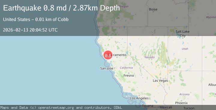
A 0.8 magnitude earthquake struck on 6 km NNW of The Geysers, CA, at Fri, 13 Feb 2026 20:04:52 GMT. Depth: 2.86999988555908km. Reviewed by USGS seismologists, this minor quake occurred at a magnitude type of md.
Magnitude
0.8
md
Source
USGS
Intensity
-
Agency Reports
1 Sources| Source | Magnitude | Depth | Time |
|---|---|---|---|
| USGSPrimary | 0.8 | 3 km | 5 days ago |
Earthquake Details
AutomaticEvent IDusgs_nc75313312
Tsunami PotentialNo
Magnitude Typemd
Nearest Places
- Bear Canyon1.9 km
- Geyser Rock2.5 km
- Geyser Canyon2.8 km
- Caldwell Pines2.8 km
- Coldwater Canyon2.9 km
Comments
Join the discussion about this event.
Latest Earthquakes
1.7Mag
northern Alaska
Time17 hours ago
Depth4.64 km
SourceVYT (Automatic)
1.2Mag
5 km WNW of The Geysers, CA
Time17 hours ago
Depth3.19 km
SourceUSGS (Automatic)
3.4Mag
Sulawesi, Indonesia
Time17 hours ago
Depth27.95 km
SourceVYT (Automatic)
1.6Mag
Central Alaska
Time17 hours ago
Depth18.07 km
SourceVYT (Automatic)
2.5Mag
Bering Strait
Time17 hours ago
Depth200.07 km
SourceVYT (Automatic)
Nearby Earthquakes
1.5Mag
6 km NNW of The Geysers, CA
Time3 weeks ago
Depth1.37 km
SourceUSGS (Automatic)
0.9Mag
6 km NNW of The Geysers, CA
Time1 week ago
Depth2.86 km
SourceUSGS (Automatic)
1.4Mag
6 km NNW of The Geysers, CA
Time3 weeks ago
Depth2.61 km
SourceUSGS (Automatic)
1.3Mag
6 km NNW of The Geysers, CA
Time5 days ago
Depth2.65 km
SourceUSGS (Automatic)
1.7Mag
6 km NNW of The Geysers, CA
Time3 weeks ago
Depth2.99 km
SourceUSGS (Automatic)