Earthquake 22 km S of New Idria, CA
Sat, 14 Feb 2026 00:45:48 GMT
Time1 week ago
Location
36.2203, -120.7122
Depth
17.4 KM
Event Summary
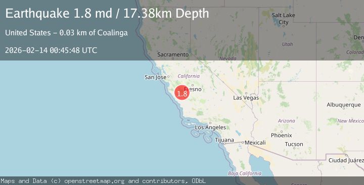
A 1.8 magnitude earthquake struck on 22 km S of New Idria, CA, at Sat, 14 Feb 2026 00:45:48 GMT. Depth: 17.3799991607666km. Reviewed by USGS seismologists, this minor quake occurred at a magnitude type of md.
Magnitude
1.8
md
Source
USGS
Intensity
-
Agency Reports
1 Sources| Source | Magnitude | Depth | Time |
|---|---|---|---|
| USGSPrimary | 1.8 | 17 km | 1 week ago |
Earthquake Details
AutomaticEvent IDusgs_nc75313487
Tsunami PotentialNo
Magnitude Typemd
Nearest Places
- 1.7 km
- 2.5 km
- 2.5 km
- 2.8 km
- 3.7 km
Comments
Join the discussion about this event.
Latest Earthquakes
2.1Mag
Tarapaca, Chile
Time5 minutes ago
Depth83.25 km
SourceVYT (Automatic)
1.0Mag
10 km NE of Julian, CA
Time7 minutes ago
Depth6.44 km
SourceUSGS (Automatic)
2.8Mag
NICARAGUA
Time12 minutes ago
Depth183.00 km
SourceINET (Automatic)
1.2Mag
2 km N of Diablo, CA
Time12 minutes ago
Depth6.74 km
SourceUSGS (Automatic)
2.2Mag
West Papua Region, Indonesia
Time14 minutes ago
Depth10.00 km
SourceBMKG
Nearby Earthquakes
3.0Mag
CENTRAL CALIFORNIA
Time5 years ago
Depth10.00 km
SourceNEIC (Automatic)
3.0Mag
CENTRAL CALIFORNIA
Time5 years ago
Depth8.00 km
SourceNC (Automatic)
3.0Mag
CENTRAL CALIFORNIA
Time9 years ago
Depth9.00 km
SourceNEIC (Automatic)
1.4Mag
23 km ENE of San Lucas, CA
Time1 week ago
Depth7.44 km
SourceUSGS (Automatic)
1.5Mag
22 km ENE of San Lucas, CA
Time2 weeks ago
Depth5.20 km
SourceUSGS (Automatic)