Earthquake 3 km ESE of The Geysers, CA
Sat, 14 Feb 2026 09:47:21 GMT
Time4 days ago
Location
38.7692, -122.7280
Depth
1.3 KM
Event Summary
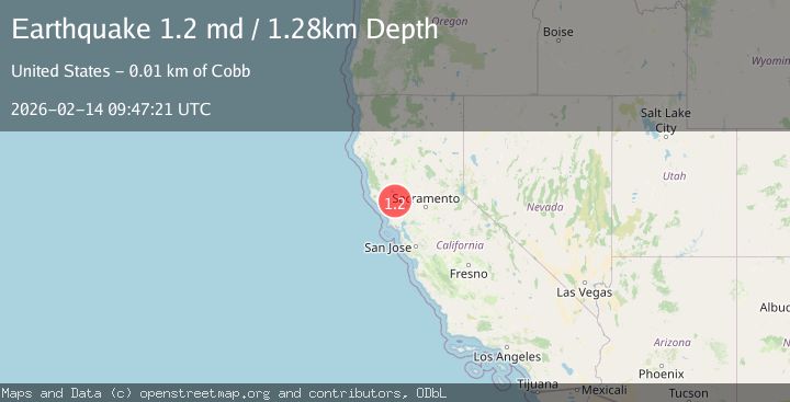
A 1.2 magnitude earthquake struck on 3 km ESE of The Geysers, CA, at Sat, 14 Feb 2026 09:47:21 GMT. Depth: 1.27999997138977km. Reviewed by USGS seismologists, this minor quake occurred at a magnitude type of md.
Magnitude
1.2
md
Source
USGS
Intensity
-
Agency Reports
1 Sources| Source | Magnitude | Depth | Time |
|---|---|---|---|
| USGSPrimary | 1.2 | 1 km | 4 days ago |
Earthquake Details
AutomaticEvent IDusgs_nc75313632
Tsunami PotentialNo
Magnitude Typemd
Nearest Places
- Wardlow Rock0.7 km
- Castle Rock Springs1.0 km
- Lincoln Rock1.6 km
- Big Injun Mine1.6 km
- Gunning Creek2.0 km
Comments
Join the discussion about this event.
Latest Earthquakes
2.4Mag
Finland
Time2 minutes ago
Depth301.88 km
SourceVYT (Automatic)
1.2Mag
Alaska Peninsula
Time3 minutes ago
Depth0.12 km
SourceVYT (Automatic)
3.1Mag
DODECANESE IS.-TURKEY BORDER REG
Time9 minutes ago
Depth4.10 km
SourceKOERI (Automatic)
2.6Mag
NEAR COAST OF NICARAGUA
Time14 minutes ago
Depth38.00 km
SourceINET (Automatic)
1.4Mag
Central Alaska
Time16 minutes ago
Depth110.35 km
SourceVYT (Automatic)
Nearby Earthquakes
3.0Mag
NORTHERN CALIFORNIA
Time2 years ago
Depth1.40 km
SourceNC (Automatic)
1.0Mag
3 km ESE of The Geysers, CA
Time2 days ago
Depth0.82 km
SourceUSGS (Automatic)
1.6Mag
2 km ESE of The Geysers, CA
Time19 hours ago
Depth3.11 km
SourceUSGS (Automatic)
1.5Mag
3 km WSW of Anderson Springs, CA
Time3 weeks ago
Depth1.01 km
SourceUSGS (Automatic)
2.0Mag
2 km E of The Geysers, CA
Time1 week ago
Depth1.83 km
SourceUSGS (Automatic)