Earthquake 9 km ESE of Coalinga, CA
Sat, 14 Feb 2026 11:51:40 GMT
Time1 week ago
Location
36.1025, -120.2677
Depth
5.6 KM
Event Summary
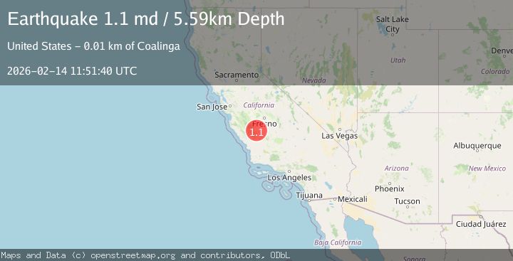
A 1.1 magnitude earthquake struck on 9 km ESE of Coalinga, CA, at Sat, 14 Feb 2026 11:51:40 GMT. Depth: 5.59000015258789km. Reviewed by USGS seismologists, this minor quake occurred at a magnitude type of md.
Magnitude
1.1
md
Source
USGS
Intensity
-
Agency Reports
1 Sources| Source | Magnitude | Depth | Time |
|---|---|---|---|
| USGSPrimary | 1.1 | 6 km | 1 week ago |
Earthquake Details
AutomaticEvent IDusgs_nc75313677
Tsunami PotentialNo
Magnitude Typemd
Nearest Places
- 2.3 km
- 3.5 km
- 4.2 km
- 4.5 km
- 4.5 km
Comments
Join the discussion about this event.
Latest Earthquakes
2.5Mag
Slovakia
Time11 hours ago
Depth3.42 km
SourceVYT (Automatic)
2.6Mag
2 km N of The Geysers, CA
Time11 hours ago
Depth-0.84 km
SourceUSGS (Automatic)
1.6Mag
36 km NW of Toyah, Texas
Time11 hours ago
Depth6.07 km
SourceUSGS (Automatic)
2.3Mag
South of Java, Indonesia
Time11 hours ago
Depth9.82 km
SourceBMKG
0.2Mag
5 km NW of The Geysers, CA
Time11 hours ago
Depth1.50 km
SourceUSGS (Automatic)
Nearby Earthquakes
3.0Mag
CENTRAL CALIFORNIA
Time1 year ago
Depth11.40 km
SourceNC (Automatic)
4.0Mag
CENTRAL CALIFORNIA
Time1 year ago
Depth11.20 km
SourceEMSC (Automatic)
2.5Mag
CENTRAL CALIFORNIA
Time1 month ago
Depth7.40 km
SourceNC (Automatic)
2.2Mag
CENTRAL CALIFORNIA
Time1 month ago
Depth7.50 km
SourceNC (Automatic)
4.0Mag
CENTRAL CALIFORNIA
Time7 years ago
Depth11.00 km
SourceNEIC (Automatic)