Earthquake 13 km NW of The Geysers, CA
Sun, 15 Feb 2026 09:28:11 GMT
Time3 days ago
Location
38.8442, -122.8760
Depth
2.4 KM
Event Summary
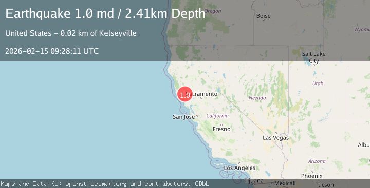
A 1.0 magnitude earthquake struck on 13 km NW of The Geysers, CA, at Sun, 15 Feb 2026 09:28:11 GMT. Depth: 2.41000008583069km. Reviewed by USGS seismologists, this minor quake occurred at a magnitude type of md.
Magnitude
1.0
md
Source
USGS
Intensity
-
Agency Reports
1 Sources| Source | Magnitude | Depth | Time |
|---|---|---|---|
| USGSPrimary | 1.0 | 2 km | 3 days ago |
Earthquake Details
AutomaticEvent IDusgs_nc75314182
Tsunami PotentialNo
Magnitude Typemd
Nearest Places
- Alder Creek1.3 km
- Hummingbird Creek1.6 km
- Squaw Creek2.2 km
- Kissack Ranch2.3 km
- Cloverdale Mine Headquarters2.5 km
Comments
Join the discussion about this event.
Latest Earthquakes
3.2Mag
AEGEAN SEA
Time3 hours ago
Depth5.00 km
SourceNOA (Automatic)
1.5Mag
7 km NW of The Geysers, CA
Time3 hours ago
Depth2.48 km
SourceUSGS (Automatic)
2.3Mag
WESTERN TURKEY
Time3 hours ago
Depth8.70 km
SourceKOERI (Automatic)
0.6Mag
6 km WNW of Cobb, CA
Time3 hours ago
Depth1.68 km
SourceUSGS (Automatic)
2.1Mag
Southern Alaska
Time3 hours ago
Depth27.59 km
SourceVYT (Automatic)
Nearby Earthquakes
1.4Mag
13 km NW of The Geysers, CA
Time3 weeks ago
Depth2.43 km
SourceUSGS (Automatic)
0.8Mag
13 km NW of The Geysers, CA
Time5 days ago
Depth2.51 km
SourceUSGS (Automatic)
4.2Mag
NORTHERN CALIFORNIA
Time1 month ago
Depth2.60 km
SourceNC (Automatic)
0.7Mag
13 km ENE of Cloverdale, CA
Time1 week ago
Depth2.32 km
SourceUSGS (Automatic)
1.1Mag
13 km ENE of Cloverdale, CA
Time2 weeks ago
Depth2.69 km
SourceUSGS (Automatic)