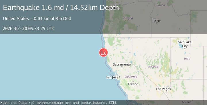
Earthquake 5 km S of Petrolia, CA
Fri, 20 Feb 2026 05:33:25 GMT
Time3 hours ago
Location
40.2765, -124.2923
Depth
14.5 KM
Event Summary
A 1.6 magnitude earthquake struck on 5 km S of Petrolia, CA, at Fri, 20 Feb 2026 05:33:25 GMT. Depth: 14.5200004577637km. Reviewed by USGS seismologists, this minor quake occurred at a magnitude type of md.
Magnitude
1.6
md
Source
USGS
Intensity
-
Agency Reports
1 Sources| Source | Magnitude | Depth | Time |
|---|---|---|---|
| USGSPrimary | 1.6 | 15 km | 3 hours ago |
Earthquake Details
AutomaticEvent IDusgs_nc75316182
Tsunami PotentialNo
Magnitude Typemd
Nearest Places
- Uncle Tommy1.5 km
- Prosper Ridge1.8 km
- Shenanigan Ridge2.5 km
- Prosper Ridge Volunteer Fire Department2.6 km
- Mill Creek2.7 km
Comments
Join the discussion about this event.
Latest Earthquakes
3.5Mag
OFF E. COAST OF N. ISLAND, N.Z.
Time7 minutes ago
Depth10.00 km
SourceGNS (Automatic)
2.7Mag
Tarapaca, Chile
Time14 minutes ago
Depth93.63 km
SourceVYT (Automatic)
2.8Mag
STRAIT OF GIBRALTAR
Time14 minutes ago
Depth63.10 km
SourceIGN (Automatic)
3.5Mag
Seram, Indonesia
Time15 minutes ago
Depth10.00 km
SourceBMKG
0.7Mag
6 km NW of The Geysers, CA
Time19 minutes ago
Depth3.96 km
SourceUSGS (Automatic)
Nearby Earthquakes
4.0Mag
NORTHERN CALIFORNIA
Time1 year ago
Depth9.90 km
SourceNC (Automatic)
5.6Mag
NORTHERN CALIFORNIA
Time6 years ago
Depth13.00 km
SourceEMSC (Automatic)
3.0Mag
OFFSHORE NORTHERN CALIFORNIA
Time4 years ago
Depth29.00 km
SourceNC (Automatic)
3.0Mag
NORTHERN CALIFORNIA
Time5 years ago
Depth35.00 km
SourceNEIC (Automatic)
3.0Mag
OFFSHORE NORTHERN CALIFORNIA
Time1 year ago
Depth33.00 km
SourceNC (Automatic)