Earthquake 22 km WSW of New Idria, CA
Sat, 21 Feb 2026 23:23:04 GMT
Time1 hour ago
Location
36.3153, -120.8875
Depth
5.7 KM
Event Summary
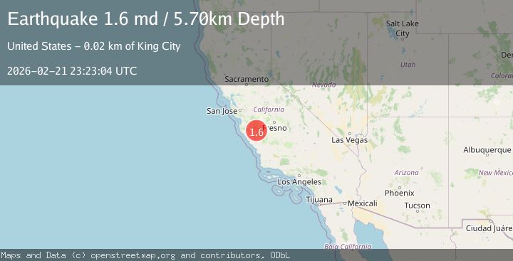
A 1.6 magnitude earthquake struck on 22 km WSW of New Idria, CA, at Sat, 21 Feb 2026 23:23:04 GMT. Depth: 5.69999980926514km. Reviewed by USGS seismologists, this minor quake occurred at a magnitude type of md.
Magnitude
1.6
md
Source
USGS
Intensity
-
Agency Reports
1 Sources| Source | Magnitude | Depth | Time |
|---|---|---|---|
| USGSPrimary | 1.6 | 6 km | 1 hour ago |
Earthquake Details
AutomaticEvent IDusgs_nc75317382
Tsunami PotentialNo
Magnitude Typemd
Nearest Places
- 0.9 km
- 2.1 km
- 2.2 km
- 2.7 km
- 2.8 km
Comments
Join the discussion about this event.
Latest Earthquakes
1.0Mag
Central Alaska
Time30 minutes ago
Depth0.00 km
SourceVYT (Automatic)
2.5Mag
Sunda Strait, Indonesia
Time33 minutes ago
Depth33.64 km
SourceBMKG
5.2Mag
OFF W. COAST OF S. ISLAND, N.Z.
Time35 minutes ago
Depth35.00 km
SourceEMSC (Automatic)
5.0Mag
off the west coast of the South Island of New Zealand
Time35 minutes ago
Depth10.00 km
SourceVYT (Automatic)
2.5Mag
Halmahera, Indonesia
Time36 minutes ago
Depth10.87 km
SourceBMKG
Nearby Earthquakes
1.3Mag
22 km NE of San Lucas, CA
Time3 weeks ago
Depth5.51 km
SourceUSGS (Automatic)
3.0Mag
CENTRAL CALIFORNIA
Time6 years ago
Depth7.00 km
SourceNC (Automatic)
1.5Mag
22 km ENE of San Lucas, CA
Time2 weeks ago
Depth5.20 km
SourceUSGS (Automatic)
1.4Mag
23 km ENE of San Lucas, CA
Time1 week ago
Depth7.44 km
SourceUSGS (Automatic)
1.3Mag
20 km SE of Pinnacles, CA
Time1 week ago
Depth12.76 km
SourceUSGS (Automatic)