Earthquake 4 km NNW of Pacifica, CA
Mon, 23 Feb 2026 06:17:06 GMT
Time2 hours ago
Location
37.6490, -122.5055
Depth
8.9 KM
Event Summary
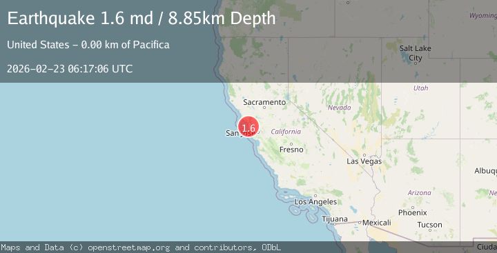
A 1.6 magnitude earthquake struck on 4 km NNW of Pacifica, CA, at Mon, 23 Feb 2026 06:17:06 GMT. Depth: 8.85000038146973km. Reviewed by USGS seismologists, this minor quake occurred at a magnitude type of md.
Magnitude
1.6
md
Source
USGS
Intensity
-
Agency Reports
1 Sources| Source | Magnitude | Depth | Time |
|---|---|---|---|
| USGSPrimary | 1.6 | 9 km | 2 hours ago |
Earthquake Details
AutomaticEvent IDusgs_nc75317892
Tsunami PotentialNo
Magnitude Typemd
Nearest Places
- 1.2 km
- 1.2 km
- 1.2 km
- 1.3 km
- 1.4 km
Comments
Join the discussion about this event.
Latest Earthquakes
2.0Mag
Tarapaca, Chile
Time2 hours ago
Depth117.07 km
SourceVYT (Automatic)
2.8Mag
Fox Islands, Aleutian Islands, Alaska
Time2 hours ago
Depth8.54 km
SourceVYT (Automatic)
1.1Mag
2 km NW of The Geysers, CA
Time2 hours ago
Depth1.50 km
SourceUSGS (Automatic)
3.1Mag
Fox Islands, Aleutian Islands, Alaska
Time2 hours ago
Depth18.92 km
SourceVYT (Automatic)
2.6Mag
Potosi, Bolivia
Time2 hours ago
Depth195.80 km
SourceVYT (Automatic)
Nearby Earthquakes
3.0Mag
SAN FRANCISCO BAY AREA, CALIF.
Time2 months ago
Depth4.50 km
SourceNC (Automatic)
1.3Mag
4 km WSW of Daly City, CA
Time2 days ago
Depth12.14 km
SourceUSGS (Automatic)
2.1Mag
SAN FRANCISCO BAY AREA, CALIF.
Time1 month ago
Depth9.70 km
SourceNC (Automatic)
1.2Mag
3 km SE of Pacifica, CA
Time3 weeks ago
Depth9.53 km
SourceUSGS (Automatic)
2.5Mag
SAN FRANCISCO BAY AREA, CALIF.
Time1 month ago
Depth9.80 km
SourceNC (Automatic)