Earthquake 6 km N of San Leandro, CA
Tue, 24 Feb 2026 00:12:19 GMT
Time1 hour ago
Location
37.7780, -122.1553
Depth
9.3 KM
Event Summary
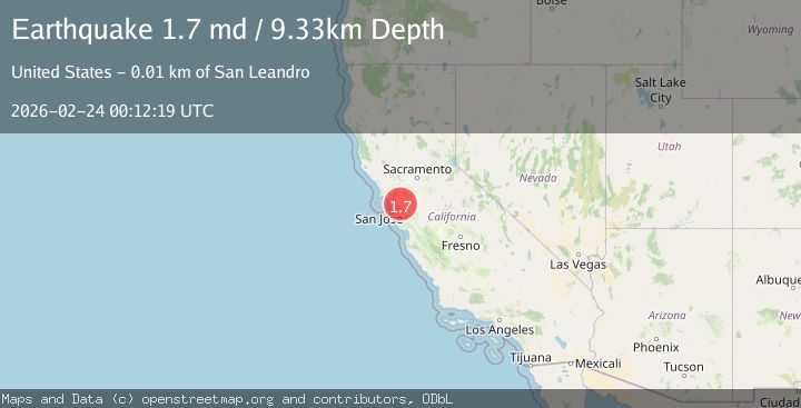
A 1.7 magnitude earthquake struck on 6 km N of San Leandro, CA, at Tue, 24 Feb 2026 00:12:19 GMT. Depth: 9.32999992370605km. Reviewed by USGS seismologists, this minor quake occurred at a magnitude type of md.
Magnitude
1.7
md
Source
USGS
Intensity
-
Agency Reports
1 Sources| Source | Magnitude | Depth | Time |
|---|---|---|---|
| USGSPrimary | 1.7 | 9 km | 1 hour ago |
Earthquake Details
AutomaticEvent IDusgs_nc75318192
Tsunami PotentialNo
Magnitude Typemd
Nearest Places
- 0.5 km
- 0.9 km
- 1.0 km
- 1.3 km
- 1.3 km
Comments
Join the discussion about this event.
Latest Earthquakes
1.9Mag
Southern Alaska
Time57 minutes ago
Depth27.34 km
SourceVYT (Automatic)
2.9Mag
Fox Islands, Aleutian Islands, Alaska
Time1 hour ago
Depth16.24 km
SourceVYT (Automatic)
2.1Mag
Southern California
Time1 hour ago
Depth12.21 km
SourceVYT (Automatic)
1.8Mag
Kodiak Island region, Alaska
Time1 hour ago
Depth67.87 km
SourceVYT (Automatic)
3.7Mag
Antofagasta, Chile
Time1 hour ago
Depth16.24 km
SourceVYT (Automatic)
Nearby Earthquakes
3.0Mag
SAN FRANCISCO BAY AREA, CALIF.
Time10 years ago
Depth5.00 km
SourceNC (Automatic)
1.7Mag
3 km NE of Oakland, CA
Time3 weeks ago
Depth8.73 km
SourceUSGS (Automatic)
3.0Mag
SAN FRANCISCO BAY AREA, CALIF.
Time4 years ago
Depth5.00 km
SourceNC (Automatic)
4.0Mag
SAN FRANCISCO BAY AREA, CALIF.
Time4 years ago
Depth10.00 km
SourceEMSC (Automatic)
1.2Mag
3 km ESE of Berkeley, CA
Time3 days ago
Depth9.71 km
SourceUSGS (Automatic)