Earthquake 6 km WNW of The Geysers, CA
Fri, 27 Feb 2026 03:22:14 GMT
Time1 hour ago
Location
38.8062, -122.8152
Depth
3.6 KM
Event Summary
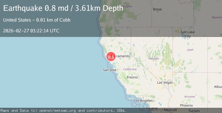
A 0.8 magnitude earthquake struck on 6 km WNW of The Geysers, CA, at Fri, 27 Feb 2026 03:22:14 GMT. Depth: 3.60999989509583km. Reviewed by USGS seismologists, this minor quake occurred at a magnitude type of md.
Magnitude
0.8
md
Source
USGS
Intensity
-
Agency Reports
1 Sources| Source | Magnitude | Depth | Time |
|---|---|---|---|
| USGSPrimary | 0.8 | 4 km | 1 hour ago |
Earthquake Details
AutomaticEvent IDusgs_nc75319542
Tsunami PotentialNo
Magnitude Typemd
Nearest Places
- 1.0 km
- 1.0 km
- 1.5 km
- 1.6 km
- 2.1 km
Comments
Join the discussion about this event.
Latest Earthquakes
2.1Mag
Antofagasta, Chile
Time55 minutes ago
Depth1.71 km
SourceVYT (Automatic)
2.2Mag
off the coast of Tarapaca, Chile
Time58 minutes ago
Depth1.71 km
SourceVYT (Automatic)
2.4Mag
Sumbawa Region, Indonesia
Time1 hour ago
Depth10.00 km
SourceBMKG
2.0Mag
offshore Coquimbo, Chile
Time1 hour ago
Depth61.40 km
SourceVYT (Automatic)
2.6Mag
Tarapaca, Chile
Time1 hour ago
Depth126.46 km
SourceVYT (Automatic)
Nearby Earthquakes
1.1Mag
6 km WNW of The Geysers, CA
Time5 days ago
Depth2.84 km
SourceUSGS (Automatic)
0.3Mag
6 km WNW of The Geysers, CA
Time5 days ago
Depth6.69 km
SourceUSGS (Automatic)
3.0Mag
NORTHERN CALIFORNIA
Time6 years ago
Depth2.00 km
SourceNEIC (Automatic)
3.0Mag
NORTHERN CALIFORNIA
Time11 years ago
Depth4.00 km
SourceNC (Automatic)
3.0Mag
NORTHERN CALIFORNIA
Time10 years ago
Depth3.00 km
SourceNC (Automatic)