Earthquake 12 km NW of The Geysers, CA
Tue, 03 Mar 2026 23:17:16 GMT
Time1 hour ago
Location
38.8412, -122.8688
Depth
8.9 KM
Event Summary
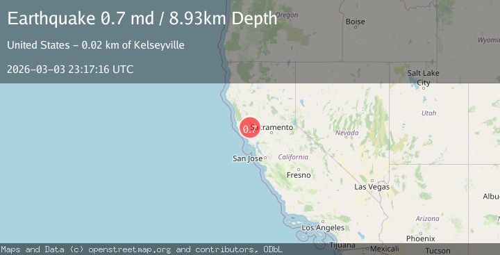
A 0.7 magnitude earthquake struck on 12 km NW of The Geysers, CA, at Tue, 03 Mar 2026 23:17:16 GMT. Depth: 8.93000030517578km. Reviewed by USGS seismologists, this minor quake occurred at a magnitude type of md.
Magnitude
0.7
md
Source
USGS
Intensity
-
Agency Reports
1 Sources| Source | Magnitude | Depth | Time |
|---|---|---|---|
| USGSPrimary | 0.7 | 9 km | 1 hour ago |
Earthquake Details
AutomaticEvent IDusgs_nc75322167
Tsunami PotentialNo
Magnitude Typemd
Nearest Places
- 0.8 km
- 0.9 km
- 2.0 km
- 2.1 km
- 2.2 km
Comments
Join the discussion about this event.
Latest Earthquakes
1.3Mag
Southeastern Alaska
Time1 hour ago
Depth3.91 km
SourceVYT (Automatic)
4.3Mag
South of Java, Indonesia
Time1 hour ago
Depth10.00 km
SourceBMKG
2.0Mag
10 km SSE of Toledo, Washington
Time1 hour ago
Depth7.23 km
SourceUSGS (Automatic)
2.7Mag
Minahassa Peninsula, Sulawesi
Time1 hour ago
Depth109.45 km
SourceBMKG
2.5Mag
MINAHASA, SULAWESI, INDONESIA
Time1 hour ago
Depth84.00 km
SourceBMKG (Automatic)
Nearby Earthquakes
1.0Mag
13 km NW of The Geysers, CA
Time1 week ago
Depth2.50 km
SourceUSGS (Automatic)
4.2Mag
NORTHERN CALIFORNIA
Time1 month ago
Depth2.60 km
SourceNC (Automatic)
1.2Mag
13 km NW of The Geysers, CA
Time3 weeks ago
Depth2.43 km
SourceUSGS (Automatic)
1.1Mag
13 km NW of The Geysers, CA
Time3 weeks ago
Depth2.42 km
SourceUSGS (Automatic)
1.4Mag
13 km NW of The Geysers, CA
Time1 month ago
Depth2.43 km
SourceUSGS (Automatic)