Earthquake 6 km WSW of Petrolia, CA
Sat, 18 Apr 2026 07:08:38 GMT
Time1 week ago
Location
40.3010, -124.3430
Depth
8.1 KM
Event Summary
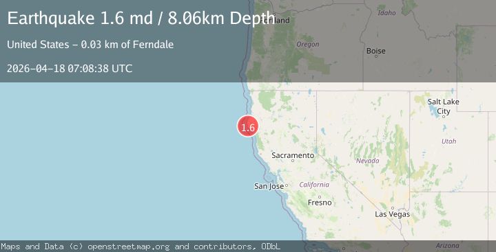
A 1.6 magnitude earthquake struck on 6 km WSW of Petrolia, CA, at Sat, 18 Apr 2026 07:08:38 GMT. Depth: 8.0600004196167km. Reviewed by USGS seismologists, this minor quake occurred at a magnitude type of md.
Magnitude
1.6
md
Source
USGS
Intensity
-
Agency Reports
1 Sources| Source | Magnitude | Depth | Time |
|---|---|---|---|
| USGSPrimary | 1.6 | 8 km | 1 week ago |
Earthquake Details
AutomaticEvent IDusgs_nc75346947
QualityS
Tsunami PotentialNo
Magnitude Typemd
Last Update1 week ago
Used Stations6
Felt Reports0
Did you feel this earthquake? Report it to help others.
No reports yet
Be the first to report this earthquake!
Latest Earthquakes
Loading...
Nearby Earthquakes
2.0Mag
NORTHERN CALIFORNIA
Time2 days ago
Depth27.80 km
SourceNC (Automatic)
2.0Mag
3 km SSW of Ferndale, CA
Time4 days ago
Depth8.04 km
SourceUSGS (Automatic)
1.9Mag
33 km WNW of Ferndale, CA
Time4 days ago
Depth17.09 km
SourceUSGS (Automatic)
4.0Mag
offshore Northern California
Time5 days ago
Depth121.34 km
SourceVYT (Automatic)
2.2Mag
22 km W of Petrolia, CA
Time5 days ago
Depth14.47 km
SourceUSGS (Automatic)