Earthquake 12 km S of Tres Pinos, CA
Thu, 30 Apr 2026 03:51:24 GMT
Time18 hours ago
Location
36.6785, -121.3343
Depth
4.3 KM
Event Summary
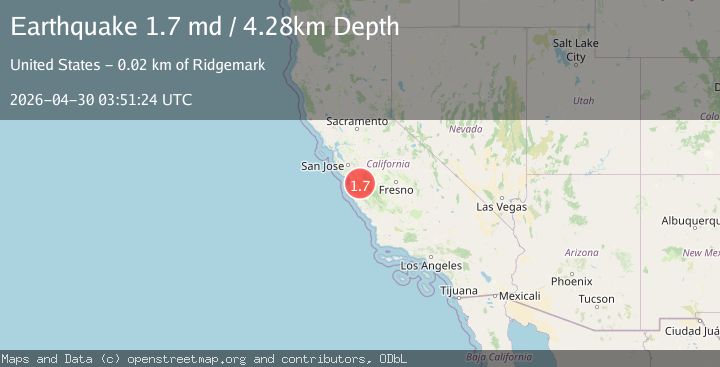
A 1.7 magnitude earthquake struck on 12 km S of Tres Pinos, CA, at Thu, 30 Apr 2026 03:51:24 GMT. Depth: 4.28000020980835km. Reviewed by USGS seismologists, this minor quake occurred at a magnitude type of md.
Magnitude
1.7
md
Source
USGS
Intensity
-
Agency Reports
1 Sources| Source | Magnitude | Depth | Time |
|---|---|---|---|
| USGSPrimary | 1.7 | 4 km | 18 hours ago |
Earthquake Details
AutomaticEvent IDusgs_nc75354177
QualityS
Tsunami PotentialNo
Magnitude Typemd
Last Update18 hours ago
Used Stations25
Felt Reports0
Did you feel this earthquake? Report it to help others.
No reports yet
Be the first to report this earthquake!
Latest Earthquakes
Loading...
Nearby Earthquakes
1.7Mag
1 km S of Pinnacles, CA
Time23 hours ago
Depth1.00 km
SourceUSGS (Automatic)
1.7Mag
2 km ESE of Lopez Point, CA
Time1 day ago
Depth3.95 km
SourceUSGS (Automatic)
1.5Mag
17 km S of Tres Pinos, CA
Time1 day ago
Depth5.09 km
SourceUSGS (Automatic)
1.6Mag
16 km NW of Coalinga, CA
Time2 days ago
Depth8.30 km
SourceUSGS (Automatic)
1.4Mag
6 km SW of Ridgemark, CA
Time2 days ago
Depth10.06 km
SourceUSGS (Automatic)