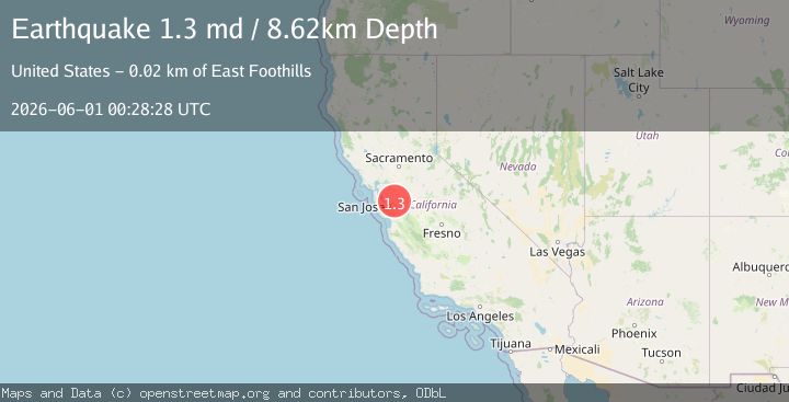
Earthquake 20 km NE of Alum Rock, CA
Mon, 01 Jun 2026 00:28:28 GMT
Time3 days ago
Location
37.5017, -121.6727
Depth
8.6 KM
Event Summary
A 1.3 magnitude earthquake struck on 20 km NE of Alum Rock, CA, at Mon, 01 Jun 2026 00:28:28 GMT. Depth: 8.61999988555908km. Reviewed by USGS seismologists, this minor quake occurred at a magnitude type of md.
Magnitude
1.3
md
Source
USGS
Intensity
-
Agency Reports
1 Sources| Source | Magnitude | Depth | Time |
|---|---|---|---|
| USGSPrimary | 1.3 | 9 km | 3 days ago |
Earthquake Details
AutomaticEvent IDusgs_nc75369001
QualityS
Tsunami PotentialNo
Magnitude Typemd
Last Update3 days ago
Used Stations11
Felt Reports0
Did you feel this earthquake? Report it to help others.
No reports yet
Be the first to report this earthquake!
Latest Earthquakes
Loading...
Nearby Earthquakes
3.0Mag
CENTRAL CALIFORNIA
Time14 hours ago
Depth6.10 km
SourceNC (Automatic)
2.1Mag
CENTRAL CALIFORNIA
Time16 hours ago
Depth6.10 km
SourceNC (Automatic)
1.1Mag
12 km ESE of Gilroy, CA
Time16 hours ago
Depth-0.16 km
SourceUSGS (Automatic)
1.6Mag
9 km NNW of Hollister, CA
Time1 day ago
Depth9.87 km
SourceUSGS (Automatic)
1.7Mag
12 km ESE of Alum Rock, CA
Time3 days ago
Depth7.40 km
SourceUSGS (Automatic)