Earthquake 62 km N of Tonopah, Nevada
Wed, 07 Jan 2026 22:17:06 GMT
Time3 days ago
Location
38.6337, -117.2351
Depth
12.7 KM
Event Summary
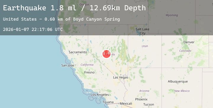
A 1.8 magnitude earthquake struck on 62 km N of Tonopah, Nevada, at Wed, 07 Jan 2026 22:17:06 GMT. Depth: 12.6938km. Reviewed by USGS seismologists, this minor quake occurred at a magnitude type of ml.
Magnitude
1.8
ml
Source
USGS
Intensity
-
Agency Reports
1 Sources| Source | Magnitude | Depth | Time |
|---|---|---|---|
| USGSPrimary | 1.8 | 13 km | 3 days ago |
Earthquake Details
AutomaticEvent IDusgs_nn00909294
Tsunami PotentialNo
Magnitude Typeml
Nearest Places
- Boyd Canyon Spring0.6 km
- Boyd Canyon1.4 km
- Dollar Mine1.6 km
- Boyd Creek2.0 km
- Antelope Spring2.3 km
Comments
Join the discussion about this event.
Latest Earthquakes
3.0Mag
WESTERN TURKEY
Time3 days ago
Depth8.10 km
SourceAFAD (Automatic)
1.7Mag
7 km SSE of Home Gardens, CA
Time3 days ago
Depth2.23 km
SourceUSGS (Automatic)
1.6Mag
5 km WNW of Cobb, CA
Time3 days ago
Depth2.26 km
SourceUSGS (Automatic)
2.5Mag
FRANCE
Time3 days ago
Depth5.00 km
SourceReNaSS (Automatic)
2.0Mag
NORTHERN CALIFORNIA
Time3 days ago
Depth5.10 km
SourceNC (Automatic)
Nearby Earthquakes
No significant earthquakes nearby recently.