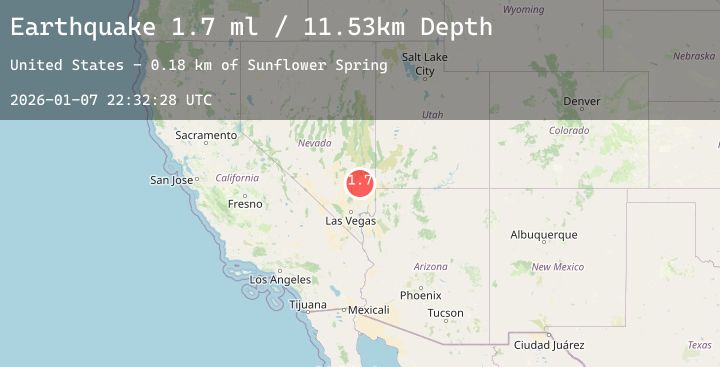
Earthquake 43 km ESE of Alamo, Nevada
Wed, 07 Jan 2026 22:32:28 GMT
Time2 days ago
Location
37.1692, -114.7331
Depth
11.5 KM
Event Summary
A 1.7 magnitude earthquake struck on 43 km ESE of Alamo, Nevada, at Wed, 07 Jan 2026 22:32:28 GMT. Depth: 11.5262km. Reviewed by USGS seismologists, this minor quake occurred at a magnitude type of ml.
Magnitude
1.7
ml
Source
USGS
Intensity
-
Agency Reports
1 Sources| Source | Magnitude | Depth | Time |
|---|---|---|---|
| USGSPrimary | 1.7 | 12 km | 2 days ago |
Earthquake Details
ConfirmedEvent IDusgs_nn00909295
Tsunami PotentialNo
Magnitude Typeml
Nearest Places
- Live Oak Spring3.8 km
- Sunflower Spring5.8 km
- Pocket Number Three Reservoir7.6 km
- Wire Grass Spring7.8 km
- Kane Springs9.2 km
Comments
Join the discussion about this event.
Latest Earthquakes
3.4Mag
Ceram Sea
Time2 days ago
Depth6.35 km
SourceBMKG (Automatic)
2.3Mag
66 km ENE of McCarthy, Alaska
Time2 days ago
Depth5.30 km
SourceUSGS (Automatic)
2.0Mag
CENTRAL ITALY
Time2 days ago
Depth23.00 km
SourceINGV (Automatic)
2.5Mag
Sumbawa Region, Indonesia
Time2 days ago
Depth45.96 km
SourceBMKG (Automatic)
2.4Mag
Java, Indonesia
Time2 days ago
Depth22.00 km
SourceBMKG (Automatic)
Nearby Earthquakes
No significant earthquakes nearby recently.