Earthquake 6 km N of Mount Charleston, Nevada
Fri, 09 Jan 2026 23:59:04 GMT
Time2 days ago
Location
36.3177, -115.6294
Depth
1.9 KM
Event Summary
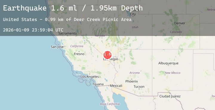
A 1.6 magnitude earthquake struck on 6 km N of Mount Charleston, Nevada, at Fri, 09 Jan 2026 23:59:04 GMT. Depth: 1.9469km. Reviewed by USGS seismologists, this minor quake occurred at a magnitude type of ml.
Magnitude
1.6
ml
Source
USGS
Intensity
-
Agency Reports
1 Sources| Source | Magnitude | Depth | Time |
|---|---|---|---|
| USGSPrimary | 1.6 | 2 km | 2 days ago |
Earthquake Details
AutomaticEvent IDusgs_nn00909383
Tsunami PotentialNo
Magnitude Typeml
Nearest Places
- Deer Creek Picnic Area1.0 km
- Deer Creek Spring1.1 km
- Mahogany Grove Picnic Area1.3 km
- Mount Charleston North Trailhead1.8 km
- Desert Viewpoint2.1 km
Comments
Join the discussion about this event.
Latest Earthquakes
0.7Mag
7 km WNW of Cobb, CA
Time2 days ago
Depth1.70 km
SourceUSGS (Automatic)
3.3Mag
Southwest of Sumatra, Indonesia
Time2 days ago
Depth10.65 km
SourceBMKG (Automatic)
3.3Mag
KODIAK ISLAND REGION, ALASKA
Time2 days ago
Depth26.20 km
SourceAK (Automatic)
5.6Mag
SOUTH OF FIJI ISLANDS
Time2 days ago
Depth140.20 km
SourceNEIC (Automatic)
3.0Mag
BATAN ISL REGION, PHILIPPINES
Time2 days ago
Depth33.00 km
SourcePIVS (Automatic)