Earthquake 10 km SW of Furnace Creek, California
Tue, 27 Jan 2026 10:20:39 GMT
Time1 hour ago
Location
36.3955, -116.9494
Depth
7.5 KM
Event Summary
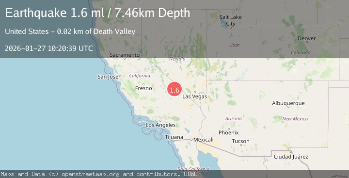
A 1.6 magnitude earthquake struck on 10 km SW of Furnace Creek, California, at Tue, 27 Jan 2026 10:20:39 GMT. Depth: 7.4606km. Reviewed by USGS seismologists, this minor quake occurred at a magnitude type of ml.
Magnitude
1.6
ml
Source
USGS
Intensity
-
Agency Reports
1 Sources| Source | Magnitude | Depth | Time |
|---|---|---|---|
| USGSPrimary | 1.6 | 7 km | 1 hour ago |
Earthquake Details
AutomaticEvent IDusgs_nn00910046
Tsunami PotentialNo
Magnitude Typeml
Nearest Places
- Blackwater Wash2.7 km
- Middle Basin5.3 km
- Furnace Creek Wash6.5 km
- Wet Fork Blackwater Wash7.2 km
- Dry Fork Blackwater Wash7.2 km
Comments
Join the discussion about this event.
Latest Earthquakes
1.6Mag
4 km SE of Julian, CA
Time16 minutes ago
Depth10.57 km
SourceUSGS (Automatic)
3.4Mag
BIO-BIO, CHILE
Time19 minutes ago
Depth17.50 km
SourceCSN (Automatic)
2.7Mag
FRANCE
Time24 minutes ago
Depth5.00 km
SourceReNaSS (Automatic)
3.0Mag
South of Bali, Indonesia
Time25 minutes ago
Depth21.74 km
SourceBMKG (Automatic)
3.6Mag
EASTERN TURKEY
Time34 minutes ago
Depth0.00 km
SourceKOERI (Automatic)
Nearby Earthquakes
1.8Mag
8 km SW of Furnace Creek, California
Time17 hours ago
Depth5.95 km
SourceUSGS (Automatic)
0.6Mag
20 km ENE of Little Lake, CA
Time3 days ago
Depth2.39 km
SourceUSGS (Automatic)
0.7Mag
20 km E of Little Lake, CA
Time1 day ago
Depth2.55 km
SourceUSGS (Automatic)
1.1Mag
13 km ESE of Olancha, CA
Time1 day ago
Depth7.07 km
SourceUSGS (Automatic)
1.8Mag
12 km ENE of Coso Junction, CA
Time1 day ago
Depth1.65 km
SourceUSGS (Automatic)