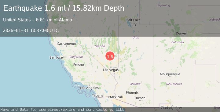
Earthquake 11 km NNW of Alamo, Nevada
Sat, 31 Jan 2026 10:37:00 GMT
Time1 hour ago
Location
37.4501, -115.2336
Depth
15.8 KM
Event Summary
A 1.6 magnitude earthquake struck on 11 km NNW of Alamo, Nevada, at Sat, 31 Jan 2026 10:37:00 GMT. Depth: 15.8231km. Reviewed by USGS seismologists, this minor quake occurred at a magnitude type of ml.
Magnitude
1.6
ml
Source
USGS
Intensity
-
Agency Reports
1 Sources| Source | Magnitude | Depth | Time |
|---|---|---|---|
| USGSPrimary | 1.6 | 16 km | 1 hour ago |
Earthquake Details
AutomaticEvent IDusgs_nn00910245
Tsunami PotentialNo
Magnitude Typeml
Nearest Places
- Number One Ditch3.4 km
- Ash Springs3.8 km
- Ash Springs3.9 km
- Brownie Spring4.1 km
- Number Four Ditch4.1 km
Comments
Join the discussion about this event.
Latest Earthquakes
2.0Mag
Bali Sea
Time4 minutes ago
Depth13.82 km
SourceBMKG (Automatic)
2.2Mag
Java, Indonesia
Time5 minutes ago
Depth53.01 km
SourceBMKG (Automatic)
1.2Mag
4 km W of Borrego Springs, CA
Time5 minutes ago
Depth4.03 km
SourceUSGS (Automatic)
0.9Mag
40 km SSW of North Pole, Alaska
Time13 minutes ago
Depth6.10 km
SourceUSGS (Automatic)
3.7Mag
CENTRAL TURKEY
Time14 minutes ago
Depth9.10 km
SourceAFAD (Automatic)
Nearby Earthquakes
1.7Mag
7 km ESE of Hiko, Nevada
Time3 days ago
Depth14.08 km
SourceUSGS (Automatic)
2.3Mag
NEVADA
Time4 days ago
Depth9.80 km
SourceNN (Automatic)
2.1Mag
NEVADA
Time4 days ago
Depth7.80 km
SourceNN (Automatic)
2.1Mag
27 km SSE of Caliente, Nevada
Time4 days ago
Depth7.79 km
SourceUSGS (Automatic)
2.5Mag
NEVADA
Time1 week ago
Depth1.50 km
SourceNN (Automatic)