Earthquake 27 km NE of Benton, California
Thu, 12 Feb 2026 15:56:53 GMT
Time1 week ago
Location
38.0104, -118.2787
Depth
1.7 KM
Event Summary
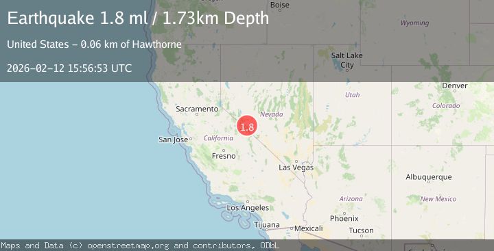
A 1.8 magnitude earthquake struck on 27 km NE of Benton, California, at Thu, 12 Feb 2026 15:56:53 GMT. Depth: 1.7301km. Reviewed by USGS seismologists, this minor quake occurred at a magnitude type of ml.
Magnitude
1.8
ml
Source
USGS
Intensity
-
Agency Reports
1 Sources| Source | Magnitude | Depth | Time |
|---|---|---|---|
| USGSPrimary | 1.8 | 2 km | 1 week ago |
Earthquake Details
AutomaticEvent IDusgs_nn00910710
Tsunami PotentialNo
Magnitude Typeml
Nearest Places
- 0.6 km
- 0.6 km
- 3.7 km
- 3.7 km
- 5.1 km
Comments
Join the discussion about this event.
Latest Earthquakes
2.7Mag
Kodiak Island region, Alaska
Time3 minutes ago
Depth16.60 km
SourceVYT (Automatic)
1.5Mag
6 km W of Cobb, CA
Time3 minutes ago
Depth1.22 km
SourceUSGS (Automatic)
1.3Mag
Alaska Peninsula
Time7 minutes ago
Depth0.00 km
SourceVYT (Automatic)
1.1Mag
6 km NNW of The Geysers, CA
Time10 minutes ago
Depth1.36 km
SourceUSGS (Automatic)
1.3Mag
6 km WNW of Cobb, CA
Time15 minutes ago
Depth0.21 km
SourceUSGS (Automatic)
Nearby Earthquakes
3.0Mag
NEVADA
Time5 years ago
Depth7.00 km
SourceNN (Automatic)
3.0Mag
NEVADA
Time9 years ago
Depth6.00 km
SourceNN (Automatic)
3.0Mag
NEVADA
Time3 years ago
Depth7.00 km
SourceNEIC (Automatic)
2.2Mag
NEVADA
Time3 weeks ago
Depth7.50 km
SourceNN (Automatic)
5.1Mag
NEVADA
Time13 years ago
Depth12.00 km
SourceNEIC (Automatic)