Earthquake 21 km SSW of Silver Peak, Nevada
Tue, 24 Feb 2026 16:17:31 GMT
Time3 hours ago
Location
37.5792, -117.7414
Depth
4.1 KM
Event Summary
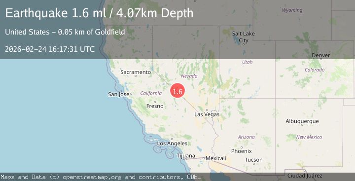
A 1.6 magnitude earthquake struck on 21 km SSW of Silver Peak, Nevada, at Tue, 24 Feb 2026 16:17:31 GMT. Depth: 4.0679km. Reviewed by USGS seismologists, this minor quake occurred at a magnitude type of ml.
Magnitude
1.6
ml
Source
USGS
Intensity
-
Agency Reports
1 Sources| Source | Magnitude | Depth | Time |
|---|---|---|---|
| USGSPrimary | 1.6 | 4 km | 3 hours ago |
Earthquake Details
AutomaticEvent IDusgs_nn00911160
Tsunami PotentialNo
Magnitude Typeml
Nearest Places
- 3.4 km
- 3.6 km
- 4.3 km
- 5.6 km
- 5.7 km
Comments
Join the discussion about this event.
Latest Earthquakes
2.9Mag
Albania
Time43 minutes ago
Depth7.20 km
SourceVYT (Automatic)
4.7Mag
Andreanof Islands, Aleutian Islands, Alaska
Time44 minutes ago
Depth35.28 km
SourceVYT (Automatic)
3.9Mag
Tarapaca, Chile
Time46 minutes ago
Depth114.50 km
SourceVYT (Automatic)
1.2Mag
2 km SSE of The Geysers, CA
Time46 minutes ago
Depth1.32 km
SourceUSGS (Automatic)
3.1Mag
Alaska Peninsula
Time47 minutes ago
Depth23.32 km
SourceVYT (Automatic)
Nearby Earthquakes
2.1Mag
NEVADA
Time6 hours ago
Depth8.00 km
SourceNN (Automatic)
3.0Mag
NEVADA
Time5 years ago
Depth10.00 km
SourceNEIC (Automatic)
3.0Mag
NEVADA
Time10 years ago
Depth8.00 km
SourceNN (Automatic)
3.0Mag
CENTRAL CALIFORNIA
Time2 years ago
Depth7.00 km
SourceNEIC (Automatic)
3.0Mag
CENTRAL CALIFORNIA
Time2 years ago
Depth5.00 km
SourceNEIC (Automatic)