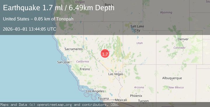
Earthquake 52 km NE of Tonopah, Nevada
Sun, 01 Mar 2026 13:44:05 GMT
Time2 hours ago
Location
38.3407, -116.7389
Depth
6.5 KM
Event Summary
A 1.7 magnitude earthquake struck on 52 km NE of Tonopah, Nevada, at Sun, 01 Mar 2026 13:44:05 GMT. Depth: 6.4904km. Reviewed by USGS seismologists, this minor quake occurred at a magnitude type of ml.
Magnitude
1.7
ml
Source
USGS
Intensity
-
Agency Reports
1 Sources| Source | Magnitude | Depth | Time |
|---|---|---|---|
| USGSPrimary | 1.7 | 6 km | 2 hours ago |
Earthquake Details
AutomaticEvent IDusgs_nn00911463
Tsunami PotentialNo
Magnitude Typeml
Nearest Places
- 1.0 km
- 2.9 km
- 3.1 km
- 3.3 km
- 3.3 km
Comments
Join the discussion about this event.
Latest Earthquakes
2.2Mag
Tarapaca, Chile
Time1 hour ago
Depth0.00 km
SourceVYT (Automatic)
1.9Mag
Antofagasta, Chile
Time2 hours ago
Depth56.27 km
SourceVYT (Automatic)
2.5Mag
EASTERN TURKEY
Time2 hours ago
Depth7.30 km
SourceAFAD (Automatic)
2.5Mag
Minahassa Peninsula, Sulawesi
Time2 hours ago
Depth5.00 km
SourceBMKG
3.3Mag
Minahasa, Sulawesi, Indonesia
Time2 hours ago
Depth10.00 km
SourceVYT (Automatic)
Nearby Earthquakes
1.5Mag
53 km NE of Tonopah, Nevada
Time1 day ago
Depth10.29 km
SourceUSGS (Automatic)
1.7Mag
51 km NE of Tonopah, Nevada
Time1 day ago
Depth4.97 km
SourceUSGS (Automatic)
1.7Mag
50 km NE of Tonopah, Nevada
Time1 day ago
Depth3.82 km
SourceUSGS (Automatic)
1.8Mag
51 km NE of Tonopah, Nevada
Time1 day ago
Depth4.41 km
SourceUSGS (Automatic)
1.9Mag
49 km NE of Tonopah, Nevada
Time16 hours ago
Depth2.56 km
SourceUSGS (Automatic)