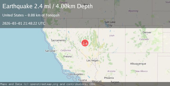
Earthquake 76 km NE of Tonopah, Nevada
Sun, 01 Mar 2026 21:48:22 GMT
Time1 hour ago
Location
38.4694, -116.5149
Depth
4.0 KM
Event Summary
A 2.4 magnitude earthquake struck on 76 km NE of Tonopah, Nevada, at Sun, 01 Mar 2026 21:48:22 GMT. Depth: 4.0483km. Reviewed by USGS seismologists, this minor quake occurred at a magnitude type of ml.
Magnitude
2.4
ml
Source
USGS
Intensity
-
Agency Reports
2 Sources| Source | Magnitude | Depth | Time |
|---|---|---|---|
| USGSPrimary | 2.4 | 4 km | 1 hour ago |
| NN | 2.4 | 4 km | 1 hour ago |
Earthquake Details
AutomaticEvent IDusgs_nn00911550
Tsunami PotentialNo
Magnitude Typeml
Nearest Places
- 2.1 km
- 3.2 km
- 6.7 km
- 6.9 km
- 7.2 km
Comments
Join the discussion about this event.
Latest Earthquakes
2.8Mag
Southeastern Alaska
Time1 hour ago
Depth14.16 km
SourceVYT (Automatic)
1.9Mag
96 km SE of Kingston, Nevada
Time1 hour ago
Depth6.06 km
SourceUSGS (Automatic)
1.9Mag
50 km NNW of Yakutat, Alaska
Time1 hour ago
Depth0.60 km
SourceUSGS (Automatic)
3.0Mag
Caucasus region, Russia
Time1 hour ago
Depth10.00 km
SourceVYT (Automatic)
2.7Mag
Antofagasta, Chile
Time1 hour ago
Depth0.00 km
SourceVYT (Automatic)
Nearby Earthquakes
1.6Mag
75 km NE of Tonopah, Nevada
Time3 hours ago
Depth16.00 km
SourceUSGS (Automatic)
1.6Mag
78 km NE of Tonopah, Nevada
Time1 day ago
Depth8.83 km
SourceUSGS (Automatic)
1.7Mag
78 km NE of Tonopah, Nevada
Time1 day ago
Depth9.07 km
SourceUSGS (Automatic)
1.6Mag
78 km NE of Tonopah, Nevada
Time1 day ago
Depth13.79 km
SourceUSGS (Automatic)
3.0Mag
NEVADA
Time4 months ago
Depth5.00 km
SourceNEIC (Automatic)