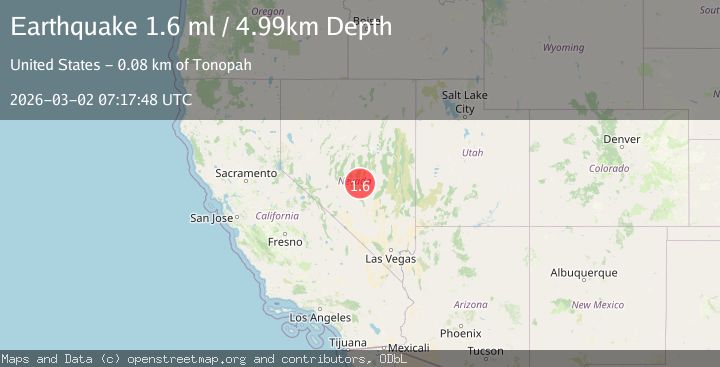
Earthquake 81 km NE of Tonopah, Nevada
Mon, 02 Mar 2026 07:17:48 GMT
Time3 hours ago
Location
38.5036, -116.4853
Depth
5.0 KM
Event Summary
A 1.6 magnitude earthquake struck on 81 km NE of Tonopah, Nevada, at Mon, 02 Mar 2026 07:17:48 GMT. Depth: 4.9916km. Reviewed by USGS seismologists, this minor quake occurred at a magnitude type of ml.
Magnitude
1.6
ml
Source
USGS
Intensity
-
Agency Reports
1 Sources| Source | Magnitude | Depth | Time |
|---|---|---|---|
| USGSPrimary | 1.6 | 5 km | 3 hours ago |
Earthquake Details
AutomaticEvent IDusgs_nn00911614
Tsunami PotentialNo
Magnitude Typeml
Nearest Places
- 2.0 km
- 3.3 km
- 3.4 km
- 3.6 km
- 4.4 km
Comments
Join the discussion about this event.
Latest Earthquakes
2.6Mag
Tarapaca, Chile
Time3 hours ago
Depth93.14 km
SourceVYT (Automatic)
4.0Mag
Banda Sea
Time3 hours ago
Depth164.18 km
SourceVYT (Automatic)
3.3Mag
SAN FRANCISCO BAY AREA, CALIF.
Time3 hours ago
Depth8.40 km
SourceNC (Automatic)
2.1Mag
Southern Yukon Territory, Canada
Time3 hours ago
Depth0.00 km
SourceVYT (Automatic)
1.6Mag
Central Alaska
Time3 hours ago
Depth4.27 km
SourceVYT (Automatic)
Nearby Earthquakes
2.5Mag
NEVADA
Time13 hours ago
Depth3.30 km
SourceNN (Automatic)
2.5Mag
NEVADA
Time16 hours ago
Depth5.00 km
SourceNEIC (Automatic)
2.3Mag
NEVADA
Time1 day ago
Depth6.90 km
SourceNN (Automatic)
1.6Mag
81 km NE of Tonopah, Nevada
Time1 day ago
Depth0.05 km
SourceUSGS (Automatic)
2.0Mag
81 km NE of Tonopah, Nevada
Time1 day ago
Depth0.03 km
SourceUSGS (Automatic)