Earthquake 81 km NE of Tonopah, Nevada
Mon, 02 Mar 2026 16:06:53 GMT
Time1 hour ago
Location
38.4918, -116.4722
Depth
0.8 KM
Event Summary
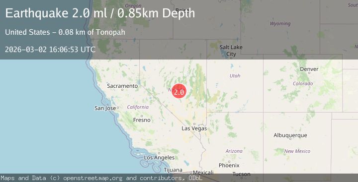
A 2.0 magnitude earthquake struck on 81 km NE of Tonopah, Nevada, at Mon, 02 Mar 2026 16:06:53 GMT. Depth: 0.8491km. Reviewed by USGS seismologists, this minor quake occurred at a magnitude type of ml.
Magnitude
2.0
ml
Source
USGS
Intensity
-
Agency Reports
1 Sources| Source | Magnitude | Depth | Time |
|---|---|---|---|
| USGSPrimary | 2.0 | 1 km | 1 hour ago |
Earthquake Details
AutomaticEvent IDusgs_nn00911634
Tsunami PotentialNo
Magnitude Typeml
Nearest Places
- 3.0 km
- 4.4 km
- 4.5 km
- 4.6 km
- 5.1 km
Comments
Join the discussion about this event.
Latest Earthquakes
2.1Mag
Southern Alaska
Time1 hour ago
Depth111.21 km
SourceVYT (Automatic)
0.5Mag
6 km WNW of The Geysers, CA
Time1 hour ago
Depth3.81 km
SourceUSGS (Automatic)
4.2Mag
Rat Islands, Aleutian Islands, Alaska
Time2 hours ago
Depth10.00 km
SourceVYT (Automatic)
3.4Mag
Minahasa, Sulawesi, Indonesia
Time2 hours ago
Depth0.00 km
SourceVYT (Automatic)
3.2Mag
Tarapaca, Chile
Time2 hours ago
Depth107.54 km
SourceVYT (Automatic)
Nearby Earthquakes
1.5Mag
81 km NE of Tonopah, Nevada
Time9 hours ago
Depth4.54 km
SourceUSGS (Automatic)
2.0Mag
81 km NE of Tonopah, Nevada
Time1 day ago
Depth0.03 km
SourceUSGS (Automatic)
1.6Mag
81 km NE of Tonopah, Nevada
Time2 days ago
Depth0.05 km
SourceUSGS (Automatic)
1.8Mag
81 km NE of Tonopah, Nevada
Time1 day ago
Depth0.05 km
SourceUSGS (Automatic)
1.6Mag
81 km NE of Tonopah, Nevada
Time2 days ago
Depth0.05 km
SourceUSGS (Automatic)