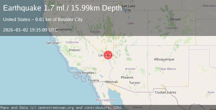
Earthquake 12 km S of Boulder City, Nevada
Mon, 02 Mar 2026 19:35:09 GMT
Time1 hour ago
Location
35.8643, -114.8401
Depth
16.0 KM
Event Summary
A 1.7 magnitude earthquake struck on 12 km S of Boulder City, Nevada, at Mon, 02 Mar 2026 19:35:09 GMT. Depth: 15.9874km. Reviewed by USGS seismologists, this minor quake occurred at a magnitude type of ml.
Magnitude
1.7
ml
Source
USGS
Intensity
-
Agency Reports
1 Sources| Source | Magnitude | Depth | Time |
|---|---|---|---|
| USGSPrimary | 1.7 | 16 km | 1 hour ago |
Earthquake Details
AutomaticEvent IDusgs_nn00911642
Tsunami PotentialNo
Magnitude Typeml
Nearest Places
- 3.2 km
- 5.5 km
- 7.3 km
- 7.5 km
- 8.2 km
Comments
Join the discussion about this event.
Latest Earthquakes
1.6Mag
Southern Alaska
Time1 hour ago
Depth27.34 km
SourceVYT (Automatic)
2.7Mag
Southeastern Alaska
Time1 hour ago
Depth0.61 km
SourceVYT (Automatic)
2.0Mag
Southern Yukon Territory, Canada
Time1 hour ago
Depth0.00 km
SourceVYT (Automatic)
2.4Mag
11 km NE of Julian, CA
Time1 hour ago
Depth8.54 km
SourceUSGS (Automatic)
2.1Mag
CENTRAL CALIFORNIA
Time2 hours ago
Depth6.20 km
SourceNC (Automatic)
Nearby Earthquakes
1.8Mag
3 km WSW of Boulder City, Nevada
Time1 week ago
Depth10.39 km
SourceUSGS (Automatic)
2.3Mag
20 km ENE of Nelson, Nevada
Time2 weeks ago
Depth15.99 km
SourceUSGS (Automatic)
1.8Mag
7 km WSW of Henderson, Nevada
Time3 weeks ago
Depth15.32 km
SourceUSGS (Automatic)
1.9Mag
17 km NE of Boulder City, Nevada
Time1 month ago
Depth10.07 km
SourceUSGS (Automatic)
2.0Mag
27 km E of Goodsprings, Nevada
Time1 month ago
Depth8.10 km
SourceUSGS (Automatic)