Earthquake 30 km SSW of Silver Peak, Nevada
Mon, 13 Apr 2026 04:24:01 GMT
Time2 weeks ago
Location
37.4924, -117.7364
Depth
2.8 KM
Event Summary
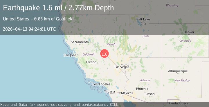
A 1.6 magnitude earthquake struck on 30 km SSW of Silver Peak, Nevada, at Mon, 13 Apr 2026 04:24:01 GMT. Depth: 2.77km. Reviewed by USGS seismologists, this minor quake occurred at a magnitude type of ml.
Magnitude
1.6
ml
Source
USGS
Intensity
-
Agency Reports
1 Sources| Source | Magnitude | Depth | Time |
|---|---|---|---|
| USGSPrimary | 1.6 | 3 km | 2 weeks ago |
Earthquake Details
AutomaticEvent IDusgs_nn00914029
QualityS
Tsunami PotentialNo
Magnitude Typeml
Last Update2 weeks ago
Used Stations9
Felt Reports0
Did you feel this earthquake? Report it to help others.
No reports yet
Be the first to report this earthquake!
Latest Earthquakes
Loading...
Nearby Earthquakes
2.4Mag
Nevada
Time1 hour ago
Depth14.04 km
SourceVYT (Automatic)
1.7Mag
33 km SE of Mina, Nevada
Time3 hours ago
Depth0.01 km
SourceUSGS (Automatic)
1.9Mag
35 km NNE of Benton, California
Time4 hours ago
Depth1.84 km
SourceUSGS (Automatic)
1.8Mag
Central California
Time4 hours ago
Depth0.00 km
SourceVYT (Automatic)
1.2Mag
17 km WSW of Toms Place, CA
Time1 day ago
Depth6.11 km
SourceUSGS (Automatic)