Earthquake 32 km SE of Mina, Nevada
Mon, 13 Apr 2026 05:08:04 GMT
Time2 weeks ago
Location
38.1864, -117.8422
Depth
11.8 KM
Event Summary
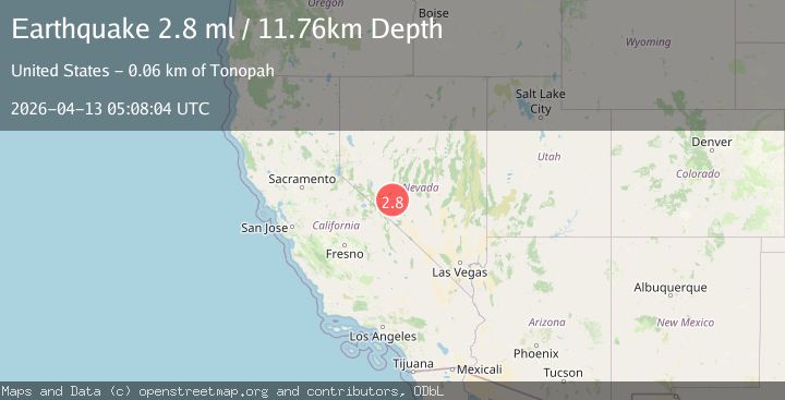
A 2.8 magnitude earthquake struck on 32 km SE of Mina, Nevada, at Mon, 13 Apr 2026 05:08:04 GMT. Depth: 11.7604km. Reviewed by USGS seismologists, this minor quake occurred at a magnitude type of ml.
Magnitude
2.8
ml
Source
USGS
Intensity
-
Agency Reports
3 Sources| Source | Magnitude | Depth | Time |
|---|---|---|---|
| USGSPrimary | 2.8 | 12 km | 2 weeks ago |
| NN | 2.8 | 12 km | 2 weeks ago |
| NEIC | 2.5 | 11 km | 2 weeks ago |
Earthquake Details
AutomaticEvent IDusgs_nn00914031
QualityS
Tsunami PotentialNo
Magnitude Typeml
Last Update2 weeks ago
Used Stations31
Felt Reports0
Did you feel this earthquake? Report it to help others.
No reports yet
Be the first to report this earthquake!
Latest Earthquakes
Loading...
Nearby Earthquakes
0.9Mag
Nevada
Time1 hour ago
Depth0.00 km
SourceVYT (Automatic)
1.8Mag
22 km NE of Goldfield, Nevada
Time15 hours ago
Depth0.71 km
SourceUSGS (Automatic)
1.4Mag
Nevada
Time19 hours ago
Depth1.71 km
SourceVYT (Automatic)
1.7Mag
Nevada
Time21 hours ago
Depth31.62 km
SourceVYT (Automatic)
1.2Mag
Nevada
Time1 day ago
Depth0.98 km
SourceVYT (Automatic)