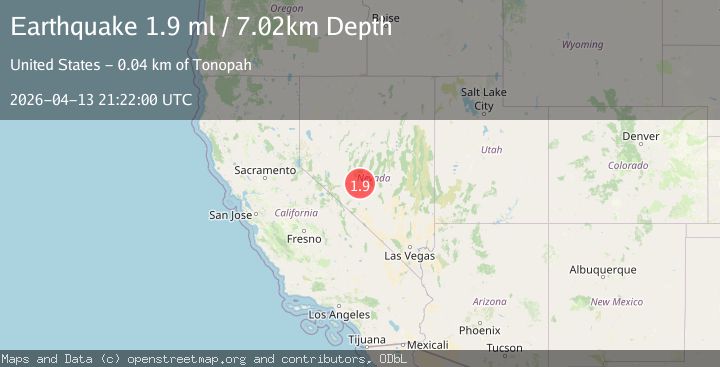
Earthquake 37 km NNW of Tonopah, Nevada
Mon, 13 Apr 2026 21:22:00 GMT
Time6 days ago
Location
38.3987, -117.3339
Depth
7.0 KM
Event Summary
A 1.9 magnitude earthquake struck on 37 km NNW of Tonopah, Nevada, at Mon, 13 Apr 2026 21:22:00 GMT. Depth: 7.0153km. Reviewed by USGS seismologists, this minor quake occurred at a magnitude type of ml.
Magnitude
1.9
ml
Source
USGS
Intensity
-
Agency Reports
1 Sources| Source | Magnitude | Depth | Time |
|---|---|---|---|
| USGSPrimary | 1.9 | 7 km | 6 days ago |
Earthquake Details
AutomaticEvent IDusgs_nn00914054
QualityS
Tsunami PotentialNo
Magnitude Typeml
Last Update6 days ago
Used Stations8
Felt Reports0
Did you feel this earthquake? Report it to help others.
No reports yet
Be the first to report this earthquake!
Latest Earthquakes
Loading...
Nearby Earthquakes
3.8Mag
15 km N of Dyer, Nevada
Time9 hours ago
Depth15.95 km
SourceUSGS (Automatic)
1.6Mag
28 km WSW of Mina, Nevada
Time19 hours ago
Depth0.02 km
SourceUSGS (Automatic)
1.8Mag
78 km NE of Tonopah, Nevada
Time1 day ago
Depth9.14 km
SourceUSGS (Automatic)
2.3Mag
NEVADA
Time1 day ago
Depth4.40 km
SourceNN (Automatic)
1.5Mag
73 km ENE of Tonopah, Nevada
Time4 days ago
Depth0.01 km
SourceUSGS (Automatic)