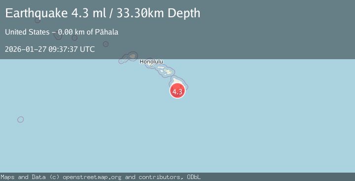
Earthquake 2 km NW of Pāhala, Hawaii
Tue, 27 Jan 2026 09:37:37 GMT
Time4 hours ago
Location
19.2180, -155.4990
Depth
33.6 KM
Event Summary
A 4.1 magnitude earthquake struck on 2 km NW of Pāhala, Hawaii, at Tue, 27 Jan 2026 09:37:37 GMT. Depth: 33.6km. Reviewed by USGS seismologists, this light quake occurred at a magnitude type of Ml.
Magnitude
4.1
Ml
Source
USGS
Intensity
-
Agency Reports
1 Sources| Source | Magnitude | Depth | Time |
|---|---|---|---|
| USGSPrimary | 4.1 | 34 km | 4 hours ago |
Earthquake Details
UnknownEvent IDusgs_pt26027050
Tsunami PotentialNo
Magnitude TypeMl
Nearest Places
- Meyer Camp (historical)0.9 km
- Meyer Reservoir1.3 km
- Upper Paauau Airport1.4 km
- ‘Alili1.5 km
- Pālima1.8 km
Comments
Join the discussion about this event.
Latest Earthquakes
2.1Mag
FRANCE
Time4 hours ago
Depth5.00 km
SourceReNaSS (Automatic)
2.7Mag
Halmahera, Indonesia
Time4 hours ago
Depth5.18 km
SourceBMKG (Automatic)
2.3Mag
FRANCE
Time4 hours ago
Depth5.00 km
SourceReNaSS (Automatic)
1.5Mag
4 km WNW of Julian, CA
Time5 hours ago
Depth5.67 km
SourceUSGS (Automatic)
1.1Mag
WESTERN TURKEY
Time5 hours ago
Depth13.70 km
SourceAFAD (Automatic)
Nearby Earthquakes
1.9Mag
2 km WNW of Pāhala, Hawaii
Time1 day ago
Depth31.88 km
SourceUSGS (Automatic)
2.2Mag
ISLAND OF HAWAII, HAWAII
Time4 days ago
Depth27.90 km
SourceHV (Automatic)
2.3Mag
3 km SW of Pāhala, Hawaii
Time6 hours ago
Depth29.59 km
SourceUSGS (Automatic)
2.3Mag
ISLAND OF HAWAII, HAWAII
Time6 hours ago
Depth29.60 km
SourceHV (Automatic)
2.0Mag
6 km WNW of Pāhala, Hawaii
Time3 days ago
Depth-0.08 km
SourceUSGS (Automatic)