Earthquake 22 km S of Westbrook, Texas
Sun, 04 Jan 2026 08:59:18 GMT
Time4 days ago
Location
32.1510, -101.0380
Depth
0.5 KM
Event Summary
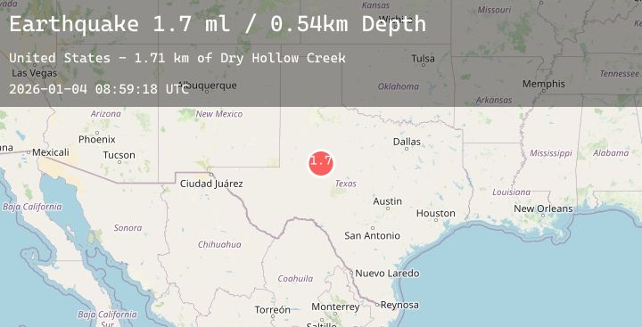
A 1.7 magnitude earthquake struck on 22 km S of Westbrook, Texas, at Sun, 04 Jan 2026 08:59:18 GMT. Depth: 0.5373km. Reviewed by USGS seismologists, this minor quake occurred at a magnitude type of ml.
Magnitude
1.7
ml
Source
USGS
Intensity
-
Agency Reports
1 Sources| Source | Magnitude | Depth | Time |
|---|---|---|---|
| USGSPrimary | 1.7 | 1 km | 4 days ago |
Earthquake Details
AutomaticEvent IDusgs_tx2026agfbjj
Tsunami PotentialNo
Magnitude Typeml
Nearest Places
- Forest Creek0.8 km
- Mustang Creek0.9 km
- Tom Neff Lake Dam2.0 km
- Tom Neff Lake2.0 km
- White Dam2.1 km
Comments
Join the discussion about this event.
Latest Earthquakes
2.1Mag
Bali Region, Indonesia
Time3 days ago
Depth10.00 km
SourceBMKG (Automatic)
2.4Mag
CYPRUS REGION
Time3 days ago
Depth9.00 km
SourceKOERI (Automatic)
1.5Mag
11 km S of Idyllwild, CA
Time3 days ago
Depth13.42 km
SourceUSGS (Automatic)
2.1Mag
ISLAND OF HAWAII, HAWAII
Time3 days ago
Depth-0.20 km
SourceHV (Automatic)
1.6Mag
15 km NE of Balmorhea, Texas
Time3 days ago
Depth0.00 km
SourceUSGS (Automatic)