Earthquake 41 km NW of Toyah, Texas
Tue, 06 Jan 2026 11:54:37 GMT
Time2 days ago
Location
31.5530, -104.1320
Depth
6.4 KM
Event Summary
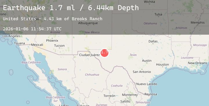
A 1.7 magnitude earthquake struck on 41 km NW of Toyah, Texas, at Tue, 06 Jan 2026 11:54:37 GMT. Depth: 6.4398km. Reviewed by USGS seismologists, this minor quake occurred at a magnitude type of ml.
Magnitude
1.7
ml
Source
USGS
Intensity
-
Agency Reports
2 Sources| Source | Magnitude | Depth | Time |
|---|---|---|---|
| USGSPrimary | 1.5 | 6 km | 2 days ago |
| USGSPrimary | 1.7 | 6 km | 2 days ago |
Earthquake Details
AutomaticEvent IDusgs_tx2026akcidq
Tsunami PotentialNo
Magnitude Typeml
Nearest Places
- Brooks Ranch4.4 km
- Two Mill Draw4.5 km
- Big Canyon Draw5.3 km
- Dutch Draw6.1 km
- Gulf Windmill7.3 km
Comments
Join the discussion about this event.
Latest Earthquakes
2.2Mag
Minahassa Peninsula, Sulawesi
Time2 days ago
Depth72.76 km
SourceBMKG (Automatic)
1.5Mag
7 km WNW of Rotan, Texas
Time2 days ago
Depth2.73 km
SourceUSGS (Automatic)
2.9Mag
South of Sumbawa, Indonesia
Time2 days ago
Depth7.58 km
SourceBMKG (Automatic)
3.8Mag
NEAR EAST COAST OF HONSHU, JAPAN
Time2 days ago
Depth50.00 km
SourceJMA (Automatic)
2.2Mag
AEGEAN SEA
Time2 days ago
Depth5.30 km
SourceEMSC (Automatic)
Nearby Earthquakes
2.2Mag
28 km NNW of Mentone, Texas
Time2 days ago
Depth0.00 km
SourceUSGS (Automatic)
1.3Mag
58 km S of Whites City, New Mexico
Time2 days ago
Depth6.10 km
SourceUSGS
1.2Mag
23 km SSW of Lindsay, Texas
Time2 days ago
Depth6.33 km
SourceUSGS (Automatic)
1.9Mag
54 km W of Mentone, Texas
Time3 days ago
Depth4.65 km
SourceUSGS (Automatic)