Earthquake 44 km NW of Toyah, Texas
Wed, 14 Jan 2026 15:08:36 GMT
Time15 hours ago
Location
31.6110, -104.1130
Depth
4.3 KM
Event Summary
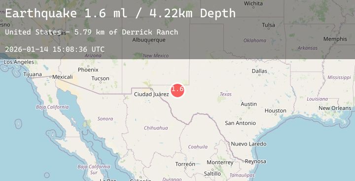
A 1.7 magnitude earthquake struck on 44 km NW of Toyah, Texas, at Wed, 14 Jan 2026 15:08:36 GMT. Depth: 4.259km. Reviewed by USGS seismologists, this minor quake occurred at a magnitude type of ml.
Magnitude
1.7
ml
Source
USGS
Intensity
-
Agency Reports
1 Sources| Source | Magnitude | Depth | Time |
|---|---|---|---|
| USGSPrimary | 1.7 | 4 km | 15 hours ago |
Earthquake Details
AutomaticEvent IDusgs_tx2026azaokq
Tsunami PotentialNo
Magnitude Typeml
Nearest Places
- Derrick Ranch5.9 km
- Monument Windmill7.2 km
- Old Michigan Mine7.7 km
- Monument Draw7.9 km
- Kohen Windmill9.2 km
Comments
Join the discussion about this event.
Latest Earthquakes
2.4Mag
Sulawesi, Indonesia
Time9 hours ago
Depth10.00 km
SourceBMKG (Automatic)
2.0Mag
1 km NNW of Houston, Alaska
Time9 hours ago
Depth27.90 km
SourceUSGS (Automatic)
3.9Mag
ANTOFAGASTA, CHILE
Time9 hours ago
Depth129.10 km
SourceCSN (Automatic)
2.8Mag
Sulawesi, Indonesia
Time9 hours ago
Depth10.00 km
SourceBMKG (Automatic)
2.5Mag
SAN JUAN, ARGENTINA
Time9 hours ago
Depth85.00 km
SourceNSNA (Automatic)