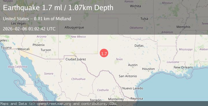
Earthquake 14 km NNW of Midland, Texas
Fri, 06 Feb 2026 01:02:42 GMT
Time1 hour ago
Location
32.1250, -102.1260
Depth
1.1 KM
Event Summary
A 1.7 magnitude earthquake struck on 14 km NNW of Midland, Texas, at Fri, 06 Feb 2026 01:02:42 GMT. Depth: 1.0716km. Reviewed by USGS seismologists, this minor quake occurred at a magnitude type of ml.
Magnitude
1.7
ml
Source
USGS
Intensity
-
Agency Reports
1 Sources| Source | Magnitude | Depth | Time |
|---|---|---|---|
| USGSPrimary | 1.7 | 1 km | 1 hour ago |
Earthquake Details
AutomaticEvent IDusgs_tx2026coefqf
Tsunami PotentialNo
Magnitude Typeml
Nearest Places
- Big Lake Windmill1.2 km
- North Windmill1.4 km
- Lake Windmill2.4 km
- China Grove Windmill2.9 km
- South Windmill3.1 km
Comments
Join the discussion about this event.
Latest Earthquakes
1.8Mag
17 km W of Petrolia, CA
Time8 minutes ago
Depth10.32 km
SourceUSGS (Automatic)
1.9Mag
19 km NNW of Fishhook, Alaska
Time12 minutes ago
Depth5.00 km
SourceUSGS (Automatic)
5.1Mag
TARAPACA, CHILE
Time20 minutes ago
Depth22.00 km
SourceEMSC (Automatic)
1.0Mag
NORTHERN ITALY
Time23 minutes ago
Depth6.60 km
SourceETHZ (Automatic)
2.3Mag
STRAIT OF GIBRALTAR
Time24 minutes ago
Depth7.50 km
SourceIGN (Automatic)
Nearby Earthquakes
1.4Mag
16 km NW of Midland, Texas
Time1 day ago
Depth5.84 km
SourceUSGS (Automatic)
1.3Mag
16 km NW of Midland, Texas
Time1 day ago
Depth6.31 km
SourceUSGS (Automatic)
1.5Mag
16 km NW of Midland, Texas
Time14 hours ago
Depth4.73 km
SourceUSGS (Automatic)
2.9Mag
WESTERN TEXAS
Time5 days ago
Depth4.30 km
SourceTX (Automatic)
2.8Mag
22 km N of Midland, Texas
Time2 weeks ago
Depth3.04 km
SourceUSGS (Automatic)