Earthquake 10 km W of Forsan, Texas
Sun, 08 Feb 2026 02:39:43 GMT
Time1 hour ago
Location
32.1030, -101.4780
Depth
2.5 KM
Event Summary
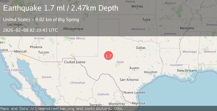
A 1.7 magnitude earthquake struck on 10 km W of Forsan, Texas, at Sun, 08 Feb 2026 02:39:43 GMT. Depth: 2.4656km. Reviewed by USGS seismologists, this minor quake occurred at a magnitude type of ml.
Magnitude
1.7
ml
Source
USGS
Intensity
-
Agency Reports
1 Sources| Source | Magnitude | Depth | Time |
|---|---|---|---|
| USGSPrimary | 1.7 | 2 km | 1 hour ago |
Earthquake Details
AutomaticEvent IDusgs_tx2026cryxbr
Tsunami PotentialNo
Magnitude Typeml
Nearest Places
- Lees3.1 km
- Windmill Number One6.1 km
- Trinity Memorial Park6.3 km
- Panther Windmill7.0 km
- Elbow7.1 km
Comments
Join the discussion about this event.
Latest Earthquakes
1.1Mag
22 km NE of Four Mile Road, Alaska
Time5 minutes ago
Depth8.90 km
SourceUSGS (Automatic)
2.0Mag
51 km WNW of Ninilchik, Alaska
Time10 minutes ago
Depth94.30 km
SourceUSGS (Automatic)
3.0Mag
14 km ESE of Naalehu, Hawaii
Time22 minutes ago
Depth32.41 km
SourceUSGS (Automatic)
3.0Mag
Seram, Indonesia
Time22 minutes ago
Depth15.64 km
SourceBMKG (Automatic)
1.2Mag
5 km SSE of Parkfield, CA
Time25 minutes ago
Depth5.10 km
SourceUSGS (Automatic)
Nearby Earthquakes
1.5Mag
10 km W of Forsan, Texas
Time1 week ago
Depth4.32 km
SourceUSGS (Automatic)
1.5Mag
11 km W of Forsan, Texas
Time1 week ago
Depth2.97 km
SourceUSGS (Automatic)
1.4Mag
11 km WSW of Forsan, Texas
Time6 days ago
Depth4.37 km
SourceUSGS (Automatic)
1.5Mag
11 km W of Forsan, Texas
Time1 week ago
Depth3.53 km
SourceUSGS (Automatic)
1.6Mag
7 km SE of Big Spring, Texas
Time3 days ago
Depth4.05 km
SourceUSGS (Automatic)