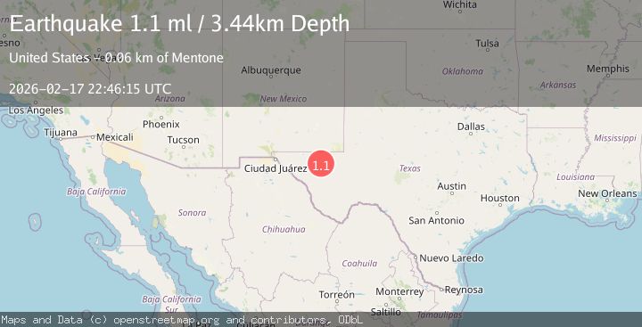
Earthquake 41 km W of Mentone, Texas
Tue, 17 Feb 2026 22:46:15 GMT
Time13 hours ago
Location
31.7270, -104.0390
Depth
0.0 KM
Event Summary
A 0.6 magnitude earthquake struck on 41 km W of Mentone, Texas, at Tue, 17 Feb 2026 22:46:15 GMT. Depth: 0km. Reviewed by USGS seismologists, this minor quake occurred at a magnitude type of ml.
Magnitude
0.6
ml
Source
USGS
Intensity
-
Agency Reports
1 Sources| Source | Magnitude | Depth | Time |
|---|---|---|---|
| USGSPrimary | 0.6 | 0 km | 13 hours ago |
Earthquake Details
AutomaticEvent IDusgs_tx2026dkaksi
Tsunami PotentialNo
Magnitude Typeml
Nearest Places
- Maverick Tank0.6 km
- Maverick Draw2.1 km
- Incline Windmill2.3 km
- Roberson Windmill2.9 km
- Incline Draw3.2 km
Comments
Join the discussion about this event.
Latest Earthquakes
2.1Mag
Potosi, Bolivia
Time13 hours ago
Depth134.64 km
SourceVYT (Automatic)
2.0Mag
WESTERN TEXAS
Time13 hours ago
Depth7.30 km
SourceTX (Automatic)
3.8Mag
Andreanof Islands, Aleutian Islands, Alaska
Time13 hours ago
Depth15.50 km
SourceVYT (Automatic)
1.4Mag
WESTERN TURKEY
Time13 hours ago
Depth11.40 km
SourceAFAD (Automatic)
1.7Mag
40 km NW of Toyah, Texas
Time13 hours ago
Depth4.25 km
SourceUSGS (Automatic)
Nearby Earthquakes
4.0Mag
WESTERN TEXAS
Time4 years ago
Depth8.00 km
SourceTX (Automatic)
3.0Mag
WESTERN TEXAS
Time4 years ago
Depth7.00 km
SourceNEIC (Automatic)
3.0Mag
WESTERN TEXAS
Time5 years ago
Depth5.00 km
SourceNEIC (Automatic)
3.0Mag
WESTERN TEXAS
Time5 years ago
Depth5.00 km
SourceNEIC (Automatic)
3.0Mag
WESTERN TEXAS
Time5 years ago
Depth5.00 km
SourceNEIC (Automatic)