Earthquake 52 km NW of Toyah, Texas
Wed, 18 Feb 2026 20:39:38 GMT
Time2 hours ago
Location
31.6060, -104.2290
Depth
3.4 KM
Event Summary
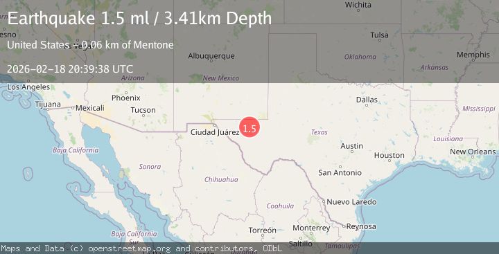
A 1.5 magnitude earthquake struck on 52 km NW of Toyah, Texas, at Wed, 18 Feb 2026 20:39:38 GMT. Depth: 3.4088km. Reviewed by USGS seismologists, this minor quake occurred at a magnitude type of ml.
Magnitude
1.5
ml
Source
USGS
Intensity
-
Agency Reports
1 Sources| Source | Magnitude | Depth | Time |
|---|---|---|---|
| USGSPrimary | 1.5 | 3 km | 2 hours ago |
Earthquake Details
AutomaticEvent IDusgs_tx2026dlryim
Tsunami PotentialNo
Magnitude Typeml
Nearest Places
- Rustler Spring4.2 km
- Old Grapevine Well5.1 km
- Humphrey Windmill5.4 km
- Monument Windmill5.5 km
- Cedar Pasture Draw7.1 km
Comments
Join the discussion about this event.
Latest Earthquakes
1.1Mag
Gaspe Peninsula, Quebec, Canada
Time1 hour ago
Depth0.00 km
SourceVYT (Automatic)
0.7Mag
Southern Alaska
Time2 hours ago
Depth0.00 km
SourceVYT (Automatic)
2.2Mag
Tarapaca, Chile
Time2 hours ago
Depth0.12 km
SourceVYT (Automatic)
3.7Mag
Adriatic Sea
Time2 hours ago
Depth10.00 km
SourceVYT (Automatic)
1.2Mag
4 km W of Lake Henshaw, CA
Time2 hours ago
Depth12.20 km
SourceUSGS (Automatic)
Nearby Earthquakes
3.0Mag
WESTERN TEXAS
Time3 years ago
Depth8.00 km
SourceTX (Automatic)
2.6Mag
western Texas
Time1 day ago
Depth0.00 km
SourceVYT (Automatic)
2.1Mag
western Texas
Time1 day ago
Depth17.46 km
SourceVYT (Automatic)
3.0Mag
WESTERN TEXAS
Time4 years ago
Depth5.00 km
SourceNEIC (Automatic)
3.0Mag
WESTERN TEXAS
Time5 years ago
Depth5.00 km
SourceNEIC (Automatic)