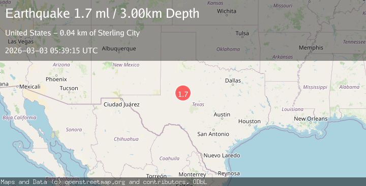
Earthquake 24 km SSW of Westbrook, Texas
Tue, 03 Mar 2026 05:39:15 GMT
Time1 hour ago
Location
32.1400, -101.0820
Depth
3.0 KM
Event Summary
A 1.7 magnitude earthquake struck on 24 km SSW of Westbrook, Texas, at Tue, 03 Mar 2026 05:39:15 GMT. Depth: 3.0035km. Reviewed by USGS seismologists, this minor quake occurred at a magnitude type of ml.
Magnitude
1.7
ml
Source
USGS
Intensity
-
Agency Reports
1 Sources| Source | Magnitude | Depth | Time |
|---|---|---|---|
| USGSPrimary | 1.7 | 3 km | 1 hour ago |
Earthquake Details
AutomaticEvent IDusgs_tx2026eikobb
Tsunami PotentialNo
Magnitude Typeml
Nearest Places
- 1.8 km
- 2.3 km
- 2.3 km
- 3.4 km
- 3.5 km
Comments
Join the discussion about this event.
Latest Earthquakes
1.9Mag
Antofagasta, Chile
Time1 hour ago
Depth27.34 km
SourceVYT (Automatic)
1.8Mag
Central Alaska
Time1 hour ago
Depth10.00 km
SourceVYT (Automatic)
1.1Mag
western Texas
Time1 hour ago
Depth11.96 km
SourceVYT (Automatic)
2.6Mag
Near North Coast of West Papua
Time2 hours ago
Depth10.00 km
SourceBMKG
1.7Mag
Central Alaska
Time2 hours ago
Depth13.06 km
SourceVYT (Automatic)
Nearby Earthquakes
2.1Mag
WESTERN TEXAS
Time1 month ago
Depth7.20 km
SourceTX (Automatic)
2.2Mag
WESTERN TEXAS
Time2 months ago
Depth6.90 km
SourceTX (Automatic)
2.5Mag
WESTERN TEXAS
Time2 months ago
Depth5.00 km
SourceNEIC (Automatic)
2.3Mag
WESTERN TEXAS
Time1 month ago
Depth8.90 km
SourceTX (Automatic)
2.1Mag
WESTERN TEXAS
Time1 month ago
Depth6.30 km
SourceTX (Automatic)