Earthquake 19 km S of Westbrook, Texas
Sat, 07 Mar 2026 03:18:47 GMT
Time3 hours ago
Location
32.1830, -100.9750
Depth
2.1 KM
Event Summary
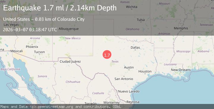
A 1.7 magnitude earthquake struck on 19 km S of Westbrook, Texas, at Sat, 07 Mar 2026 03:18:47 GMT. Depth: 2.1412km. Reviewed by USGS seismologists, this minor quake occurred at a magnitude type of ml.
Magnitude
1.7
ml
Source
USGS
Intensity
-
Agency Reports
1 Sources| Source | Magnitude | Depth | Time |
|---|---|---|---|
| USGSPrimary | 1.7 | 2 km | 3 hours ago |
Earthquake Details
AutomaticEvent IDusgs_tx2026epoula
Tsunami PotentialNo
Magnitude Typeml
Nearest Places
- 0.4 km
- 1.6 km
- 2.0 km
- 2.0 km
- 2.5 km
Comments
Join the discussion about this event.
Latest Earthquakes
No recent earthquakes available
Nearby Earthquakes
2.5Mag
western Texas
Time3 hours ago
Depth11.23 km
SourceVYT (Automatic)
1.5Mag
14 km W of Stanton, Texas
Time7 hours ago
Depth7.40 km
SourceUSGS
1.5Mag
10 km W of Forsan, Texas
Time9 hours ago
Depth8.94 km
SourceUSGS
2.4Mag
WESTERN TEXAS
Time10 hours ago
Depth2.30 km
SourceTX (Automatic)
1.2Mag
17 km NNE of Midland, Texas
Time16 hours ago
Depth3.57 km
SourceUSGS (Automatic)